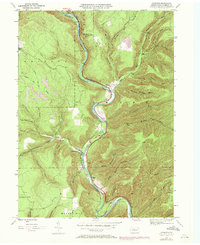
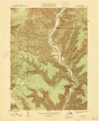
1948 Map of Rich Valley
USGS Topo · Published 1972About this map
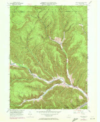
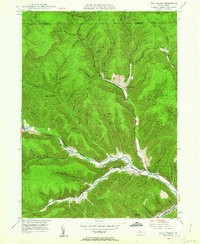
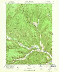
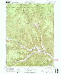
Rich Valley and the surrounding highlands of the Shippen and Norwich districts are defined by the deep incisions of the Sinnemahoning Creek and its major tributaries. Following the valley floors, the Penn Central railroad and local roads link small clusters of settlement such as Lockwood, Swesey, and Weber City. The landscape is a complex network of narrow drafts and hollows, including Chadwick Draft and Dodge Hollow, reflecting the region's history of timber and resource extraction. A notable landmark in this secluded terrain is the North Creek Chapel, situated near the confluence of Waldy Run and North Creek. Further south, the Emporium Reservoir sits tucked into the hills of Ferguson Hollow Run, illustrating the managed water resources vital to the area's development. This survey captures the transition of the mid-20th century, showing established rail lines alongside modern utility corridors like the Pipeline crossing through Dodge Hollow.
Find a feature on this map
60 named features on this map. Tap any name to fly to it.
Don’t see what you’re looking for? This feature index may not catch every label — zoom into the map to look around manually.
Map Details
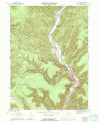
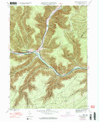
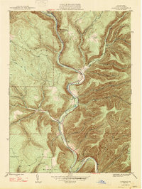
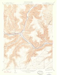
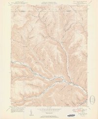
Editions of this 1948 Rich Valley Map
4 editions found
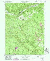
Historical Maps of Norwich Township Through Time
14 maps found
1945 Cameron
Cameron County, PA
1945 First Fork
Cameron County, PA
1945 Sinnemahoning
Cameron County, PA
1947 Cameron
Cameron County, PA
1947 First Fork
Cameron County, PA
1947 Sinnemahoning
Cameron County, PA
1948 Rich Valley
Cameron County, PA
1950 Rich Valley
Cameron County, PA
1969 West Creek
Cameron County, PA
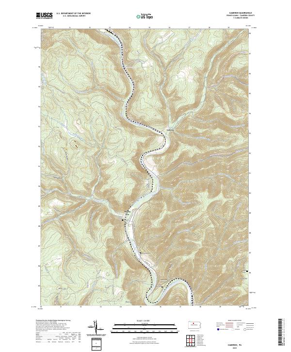
2023 Cameron
Cameron County, PA
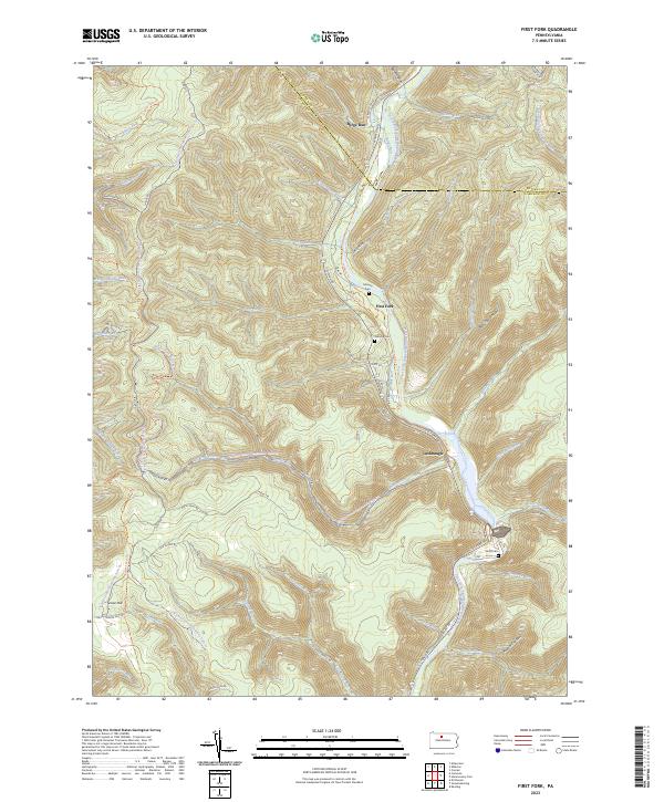
2023 First Fork
Cameron County, PA
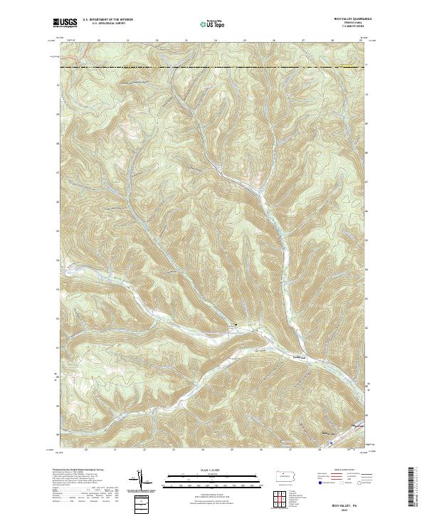
2023 Rich Valley
Cameron County, PA
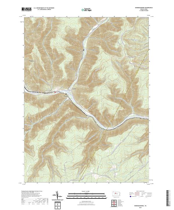
2023 Sinnemahoning
Cameron County, PA
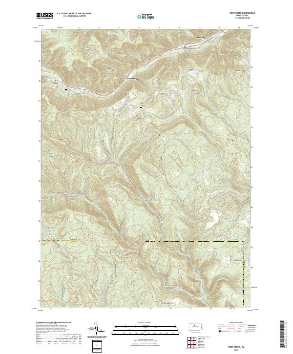
2023 West Creek
Cameron County, PA
Featured Locations
- Shippen Township, PA
- Norwich Township, PA
- Weber City, Shippen Township
- Lawn View, Shippen Township
- Lockwood, Shippen Township