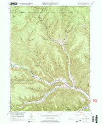
1948 Map of Rich Valley
USGS Topo · Published 1972About this map
Rich Valley and the surrounding highlands of Shippe N and Norwich townships are defined by a complex network of drainages and ridges in the mid-20th century. The settlement of Lockwood serves as a small focal point along the Driftwood Branch Sinnemahoning Creek, where transport routes follow the natural curvature of the water. To the southeast, Weber City marks another point of human habitation in a landscape otherwise dominated by the sharp relief of features like Dividing Ridge.
Find a feature on this map
56 named features on this map. Tap any name to fly to it.
Don’t see what you’re looking for? This feature index may not catch every label — zoom into the map to look around manually.
Map Details
Editions of this 1948 Rich Valley Map
4 editions found

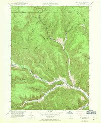
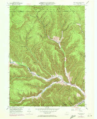
Other maps of this area

1941 · Benezette
USGS Topo · 1:62,500

1943 · Benezette
USGS Topo · 1:62,500

1945 · Driftwood
USGS Topo · 1:48,000

1945 · Cameron
USGS Topo · 1:24,000

1947 · Cameron
USGS Topo · 1:24,000

1948 · Crosby
USGS Topo · 1:62,500

1948 · Emporium
USGS Topo · 1:62,500

1948 · Keating Summit
USGS Topo · 1:24,000

1948 · Emporium
USGS Topo · 1:24,000

1948 · Wildwood Fire Tower
USGS Topo · 1:24,000
Featured Places
- Norwich Township, PA
- Weber City, Shippen Township
- Shippen Township, PA
- Lockwood, Shippen Township
- Lawn View, Shippen Township