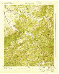
1940 Map of Richardson Cove
USGS Topo · Published 1940About this map
The Little Pigeon River and its numerous forks dominate the landscape of Sevier County in this 1940 survey, reflecting a period when small mountain communities were deeply connected to the winding river valleys. The settlement at Richardson Cove serves as a central point, surrounded by a network of family-named landmarks and rural institutions that define early 20th-century life in the region. Educational and religious life is well-documented through sites like Smoky Mtn Academy and the Crockettsville Sch, alongside several small chapels such as Murphy Chapel.
Find a feature on this map
89 named features on this map. Tap any name to fly to it.
Don’t see what you’re looking for? This feature index may not catch every label — zoom into the map to look around manually.
Map Details
Editions of this 1940 Richardson Cove Map
4 editions found
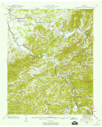
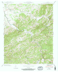
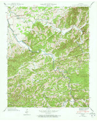
Other maps of this area

1886 · Knoxville
USGS Topo · 1:125,000

1892 · Knoxville
USGS Topo · 1:125,000

1893 · Mt Guyot
USGS Topo · 1:125,000

1894 · Knoxville
USGS Topo · 1:125,000

1895 · Knoxville
USGS Topo · 1:125,000

1901 · Knoxville
USGS Topo · 1:125,000

1912 · Mt Guyot
USGS Topo · 1:125,000

1935 · English Mountain
USGS Topo · 1:48,000

1935 · Clevenger
USGS Topo · 1:24,000

1935 · Jones Cove
USGS Topo · 1:24,000