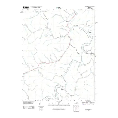
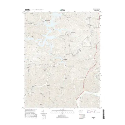
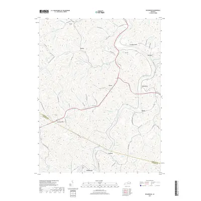
2022 Map of Richardson
USGS Topo · Published 2022About this map
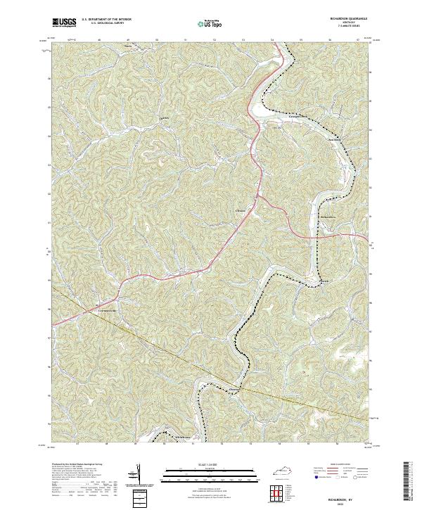
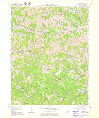
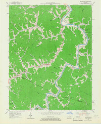
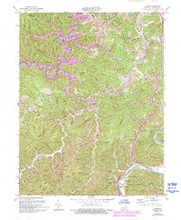
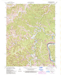
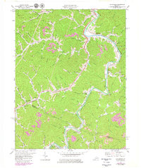
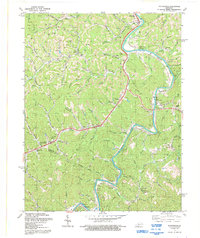
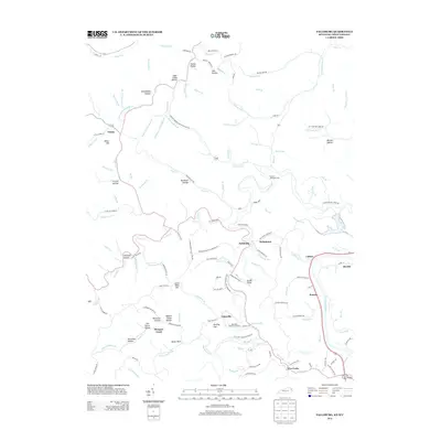
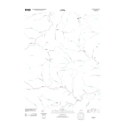
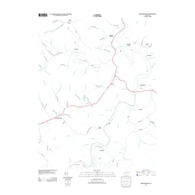
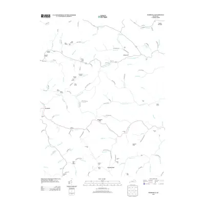
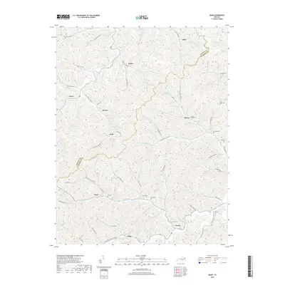
Levisa Fork cuts a winding path through this corner of eastern Kentucky, anchoring a network of narrow valleys and ridges that define the local geography. Small settlements like Lowmansville, Charley, and Richardson are scattered throughout the landscape, often situated at the confluence of branches and forks. The map reveals the rural infrastructure of the early 21st century, where routes like State Hwy 581 and State Hwy 1690 connect family-named landmarks and hollows. The boundary between Lawrence Co and Johnson Co traverses the southern portion of the sheet, cutting through areas like Chestnut and Whitehouse. Genealogy researchers may find interest in the Butcher Cem near the southern border or the many family-named waterways such as Meade Br, Childers Br, and Stambaugh Br that hint at the area's deep-rooted ancestral history.
Find a feature on this map
102 named features on this map. Tap any name to fly to it.
Don’t see what you’re looking for? This feature index may not catch every label — zoom into the map to look around manually.
Map Details
Editions of this 2022 Richardson Map
This is the sole edition of this map. No revisions or reprints were ever made.
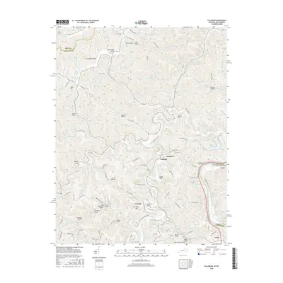
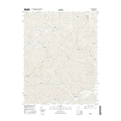
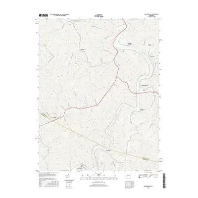
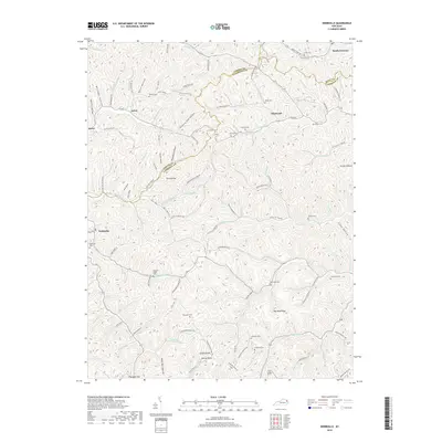
Historical Maps of Lowmansville Through Time
34 maps found
1953 Adams
Lawrence County, KY
1953 Fallsburg
Lawrence County, KY
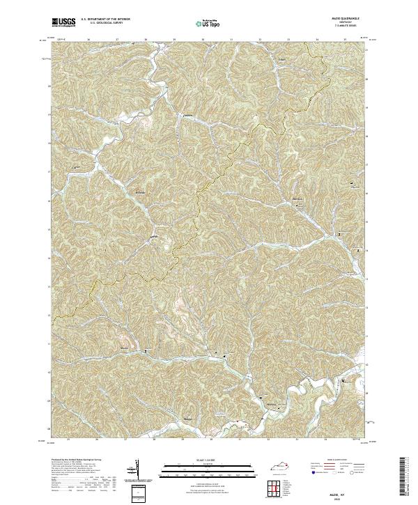
1953 Mazie
Lawrence County, KY
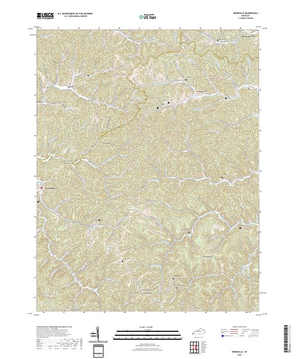
1953 Webbville
Lawrence County, KY
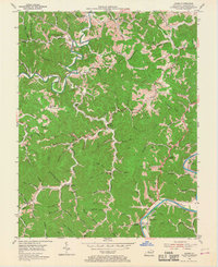
1954 Richardson
Lawrence County, KY
1971 Adams
Lawrence County, KY
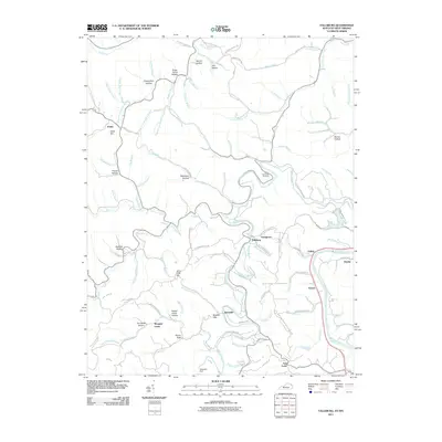
1971 Fallsburg
Lawrence County, KY
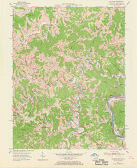
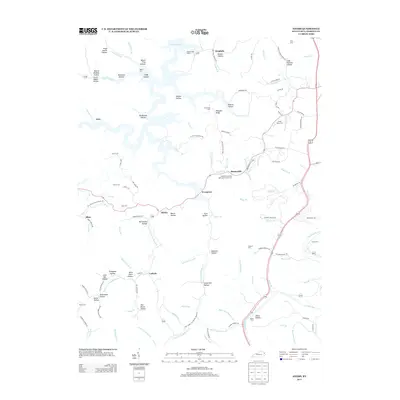
1971 Richardson
Lawrence County, KY
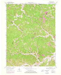
1992 Richardson
Lawrence County, KY
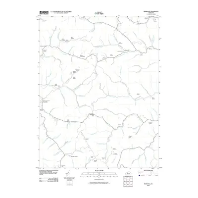
2010 Adams
Lawrence County, KY
2010 Mazie
Lawrence County, KY
2010 Richardson
Lawrence County, KY
2010 Webbville
Lawrence County, KY
2011 Fallsburg
Lawrence County, KY
2013 Adams
Lawrence County, KY
2013 Fallsburg
Lawrence County, KY
2013 Mazie
Lawrence County, KY
2013 Richardson
Lawrence County, KY
2013 Webbville
Lawrence County, KY
2016 Adams
Lawrence County, KY
2016 Fallsburg
Lawrence County, KY
2016 Mazie
Lawrence County, KY
2016 Richardson
Lawrence County, KY
2016 Webbville
Lawrence County, KY
2019 Adams
Lawrence County, KY
2019 Fallsburg
Lawrence County, KY
2019 Mazie
Lawrence County, KY
2019 Richardson
Lawrence County, KY
2019 Webbville
Lawrence County, KY
2022 Adams
Lawrence County, KY
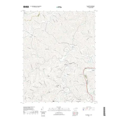
2022 Fallsburg
Lawrence County, KY
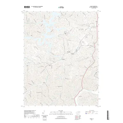
2022 Mazie
Lawrence County, KY
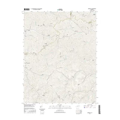
2022 Richardson
Lawrence County, KY
2022 Webbville
Lawrence County, KY