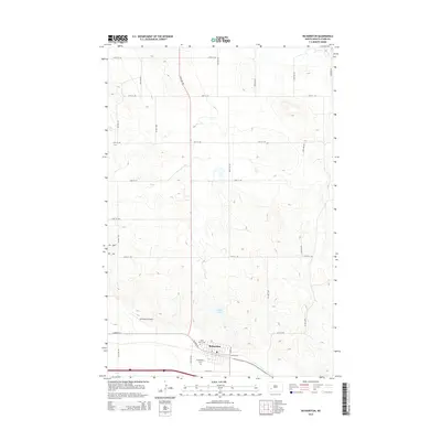
2014 Map of Richardton
USGS Topo · Published 2014About this map
Richardton serves as the central hub of this North Dakota prairie landscape, situated along the historic corridor of Highway 10. The town's layout and surrounding section lines reflect the late 19th-century homesteading patterns common to Stark County. To the west of the town center, the Richardton Airport provides an essential connection to the region, while the local geography is defined by the modest waters of Abbey Lake to the north.
Find a feature on this map
26 named features on this map. Tap any name to fly to it.
Don’t see what you’re looking for? This feature index may not catch every label — zoom into the map to look around manually.
Map Details
Editions of this 2014 Richardton Map
This is the sole edition of this map. No revisions or reprints were ever made.
Other maps of this area

1953 · Dickinson
USGS Topo · 1:250,000

1953 · Watford City
USGS Topo · 1:250,000

1957 · Dickinson
USGS Topo · 1:250,000

1957 · Watford City
USGS Topo · 1:250,000

1967 · Watford City
USGS Topo · 1:250,000

1973 · Bratburg Butte
USGS Topo · 1:24,000

1973 · Marshall SE
USGS Topo · 1:24,000

1973 · Taylor
USGS Topo · 1:24,000

1973 · Willow Creek West
USGS Topo · 1:24,000

1973 · Marshall SW
USGS Topo · 1:24,000