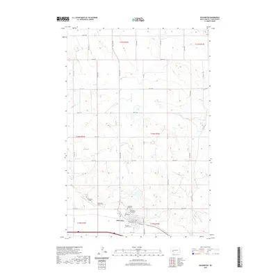
2020 Map of Richardton
USGS Topo · Published 2020About this map
Richardton serves as the focal point of this Stark County landscape, defined by a significant concentration of religious and communal sites. The area is anchored by the Assumption Abbey Church and its associated Assumption Abbey Cem, alongside the Sacred Heart Monastery Cem. These landmarks, including the notable Crypt Grave, indicate a landscape deeply shaped by its spiritual and monastic history. The town is organized around a grid of numbered streets and avenues, including South Ave W and 89th Ave SW, reflecting the systematic settlement patterns of the North Dakota plains. The inclusion of the Richardton Airport west of the main settlement highlights the intersection of traditional small-town life with modern regional infrastructure. For those researching local heritage, the density of burial sites such as Saint Marys Cem and the Evangelical Lutheran Cem provides a valuable record of the community’s diverse denominational roots.
Find a feature on this map
35 named features on this map. Tap any name to fly to it.
Don’t see what you’re looking for? This feature index may not catch every label — zoom into the map to look around manually.
Map Details
Editions of this 2020 Richardton Map
This is the sole edition of this map. No revisions or reprints were ever made.
Other maps of this area

1953 · Dickinson
USGS Topo · 1:250,000

1953 · Watford City
USGS Topo · 1:250,000

1957 · Dickinson
USGS Topo · 1:250,000

1957 · Watford City
USGS Topo · 1:250,000

1967 · Watford City
USGS Topo · 1:250,000

1973 · Bratburg Butte
USGS Topo · 1:24,000

1973 · Marshall SE
USGS Topo · 1:24,000

1973 · Taylor
USGS Topo · 1:24,000

1973 · Willow Creek West
USGS Topo · 1:24,000

1973 · Marshall SW
USGS Topo · 1:24,000