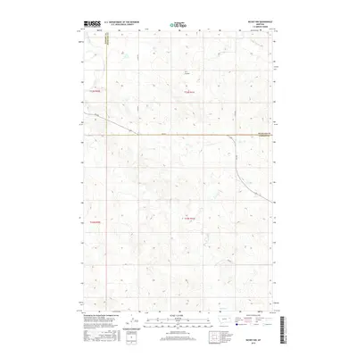
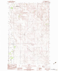
2017 Map of Richey NW
USGS Topo · Published 2017About this map
Redwater River flows through the northwestern corner of this territory, where the boundary between Dawson and Richland counties shifts across a landscape of high plains drainage. The map highlights a series of watercourses that define the local topography, including S Fork Lisk Cr in the northeast and the winding path of Pasture Cr through the southern sections. This area of eastern Montana is characterized by its drainage features like H S Coulee, which cut through the high ground between township lines. The modern infrastructure is represented by a network of rural routes, primarily Fas 254 which serves as a central east-west corridor, complemented by local roads such as Co Rd 301 and Co Rd 304 that follow the established section lines of the Public Land Survey System.
Find a feature on this map
14 named features on this map. Tap any name to fly to it.
Don’t see what you’re looking for? This feature index may not catch every label — zoom into the map to look around manually.
Map Details
Editions of this 2017 Richey NW Map
This is the sole edition of this map. No revisions or reprints were ever made.
Other maps of this area

1954 · Glendive
USGS Topo · 1:250,000

1957 · Glendive
USGS Topo · 1:250,000

1958 · Glendive
USGS Topo · 1:250,000
1983 · Duplisse Creek South
USGS Topo · 1:24,000
1983 · Richey
USGS Topo · 1:24,000

1983 · Buffalo Creek NE
USGS Topo · 1:24,000
1983 · Kraut Coulee
USGS Topo · 1:24,000

1983 · Circle Reservoir
USGS Topo · 1:24,000

1983 · Richey NW
USGS Topo · 1:24,000
1983 · Lisk Creek
USGS Topo · 1:24,000