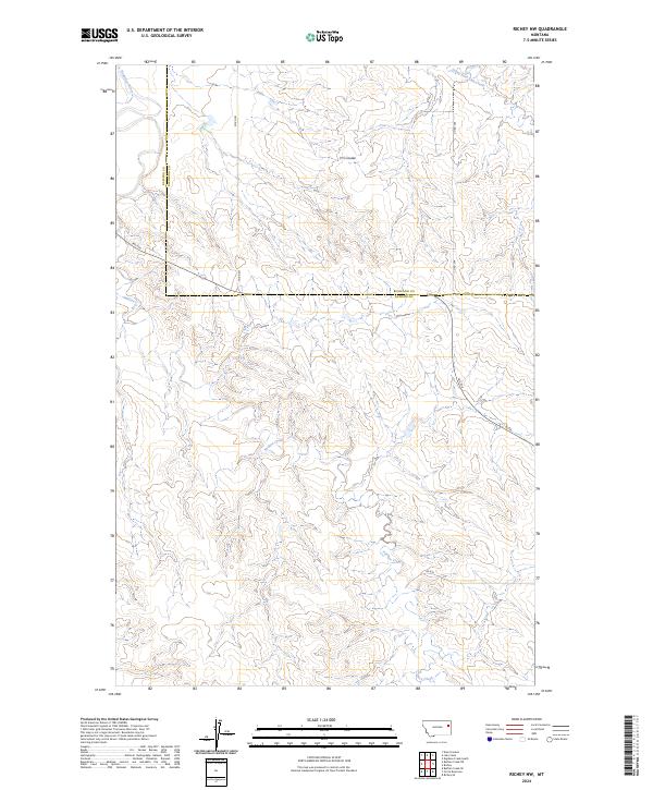
2024 Map of Richey NW
USGS Topo · Published 2024About this map
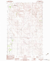
Redwater River defines the northwestern corner of this landscape in eastern Montana, where the high plains are deeply incised by a network of drainage systems. The topography is characterized by a complex of coulees and seasonal watercourses, including South Fork Lisk Creek and the meandering Pasture Creek. This map illustrates the transition across the Dawson and Richland County line, a boundary that bisects the central plateau. The layout of Fas 254 and secondary routes like Co Rd 301 and Co Rd 304 reflects the expansive land divisions of the Public Land Survey System, specifically within Townships 22 and 23 North. The presence of named features like H S Coulee provides specific points of reference for navigating this largely open, agrarian terrain.
Find a feature on this map
14 named features on this map. Tap any name to fly to it.
Don’t see what you’re looking for? This feature index may not catch every label — zoom into the map to look around manually.
Map Details
Editions of this 2024 Richey NW Map
This is the sole edition of this map. No revisions or reprints were ever made.
Other maps of this area

1954 · Glendive
USGS Topo · 1:250,000

1957 · Glendive
USGS Topo · 1:250,000

1958 · Glendive
USGS Topo · 1:250,000
1983 · Duplisse Creek South
USGS Topo · 1:24,000
1983 · Richey
USGS Topo · 1:24,000

1983 · Buffalo Creek NE
USGS Topo · 1:24,000
1983 · Kraut Coulee
USGS Topo · 1:24,000

1983 · Circle Reservoir
USGS Topo · 1:24,000

1983 · Richey NW
USGS Topo · 1:24,000
1983 · Lisk Creek
USGS Topo · 1:24,000