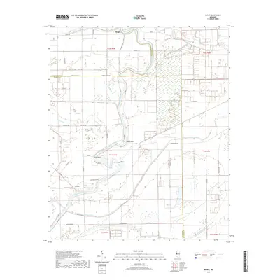
2020 Map of Richey
USGS Topo · Published 2020About this map
The Big Sunflower River defines the landscape of the Mississippi Delta in this 2020 survey, winding through a complex network of wetlands and agricultural tracts. The small settlements of Murphy and Richey serve as local anchors along the riverbanks, where the terrain is marked by distinctive hydrological features such as Little Basin, Big Basin, and Hughey Point. This area sits at the junction of Washington, Sharkey, and Humphreys counties, illustrating the persistence of rural land divisions and river-dependent geography.
Find a feature on this map
59 named features on this map. Tap any name to fly to it.
Don’t see what you’re looking for? This feature index may not catch every label — zoom into the map to look around manually.
Map Details
Editions of this 2020 Richey Map
This is the sole edition of this map. No revisions or reprints were ever made.
Other maps of this area

1939 · Lorenzen
USGS Topo · 1:62,500

1939 · Swan Lake
USGS Topo · 1:62,500

1940 · Auter
USGS Topo · 1:62,500

1953 · Greenwood
USGS Topo · 1:250,000

1955 · Jackson
USGS Topo · 1:250,000

1956 · Greenwood
USGS Topo · 1:250,000

1961 · Jackson
USGS Topo · 1:250,000

1961 · Bayland
USGS Topo · 1:62,500

1962 · Jackson
USGS Topo · 1:250,000

1964 · Lorenzen
USGS Topo · 1:62,500