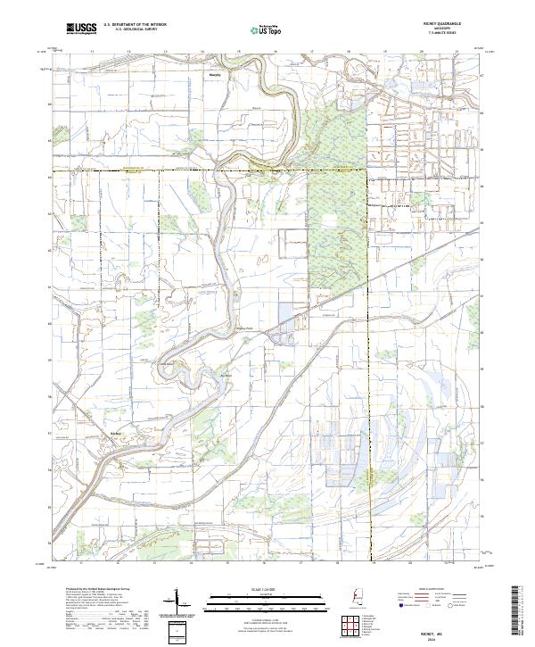
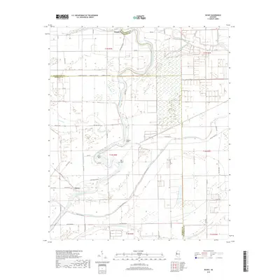
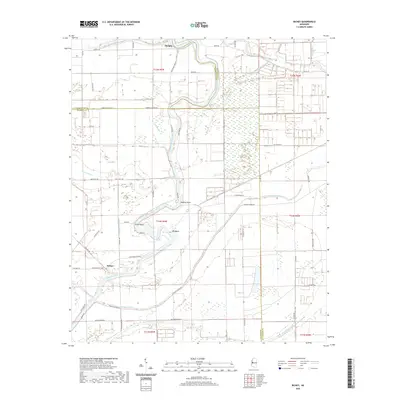
2024 Map of Richey
USGS Topo · Published 2024About this map
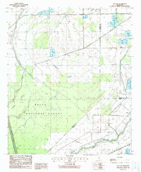
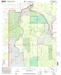
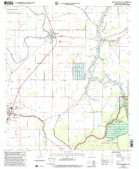
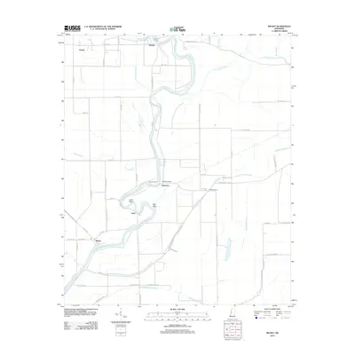
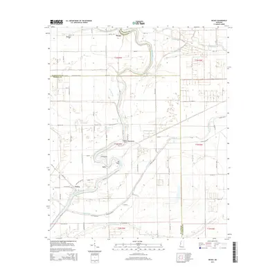
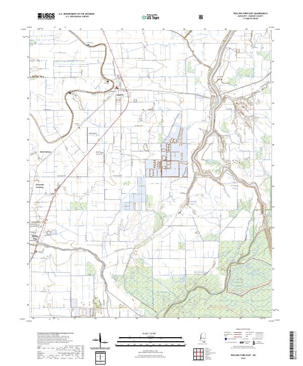
The Big Sunflower River winds through a landscape of wetlands and managed lands in this modern survey of Sharkey and Washington Counties. The settlement of Richey sits near the confluence of Patterson Rd and Sunflower River Rd, serving as a central point in a region defined by complex drainage networks. These waterways, including the historically named Free Negro Bayou, Murphy Bayou, and Big Widow Bayou, illustrate the intricate hydrology of the Yazoo Basin.
Find a feature on this map
61 named features on this map. Tap any name to fly to it.
Don’t see what you’re looking for? This feature index may not catch every label — zoom into the map to look around manually.
Map Details
Editions of this 2024 Richey Map
This is the sole edition of this map. No revisions or reprints were ever made.
Historical Maps of Murphy Through Time
29 maps found
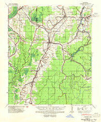
1939 Lorenzen
Sharkey County, MS
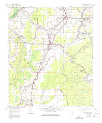
1964 Lorenzen
Sharkey County, MS
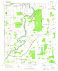
1965 Richey
Sharkey County, MS
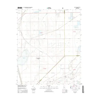
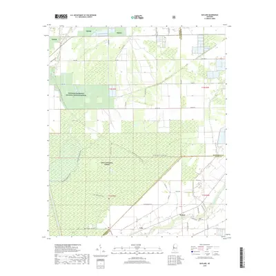
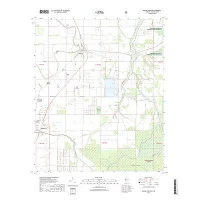
1988 Bayland
Sharkey County, MS
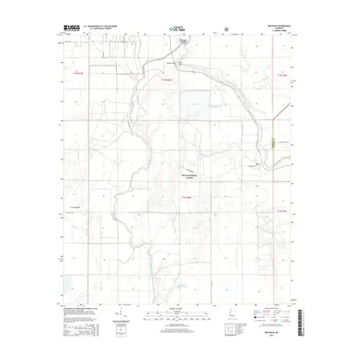
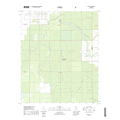
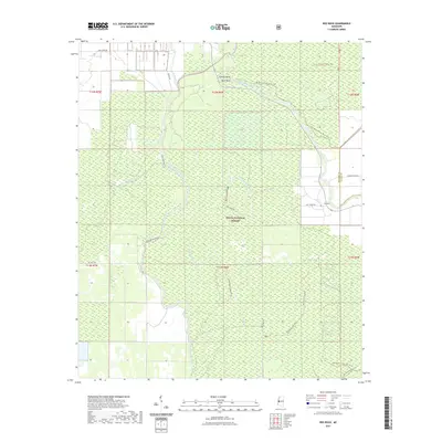
1988 Red Rock
Sharkey County, MS
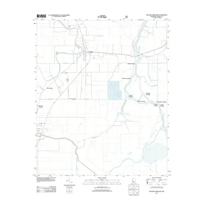
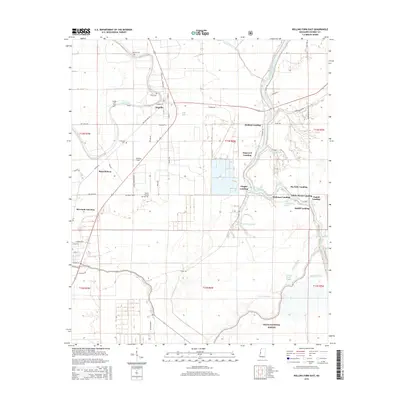
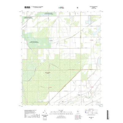
1988 Rolling Fork East
Sharkey County, MS
2000 Bayland
Sharkey County, MS
2000 Red Rock
Sharkey County, MS
2000 Rolling Fork East
Sharkey County, MS
2012 Bayland
Sharkey County, MS
2012 Red Rock
Sharkey County, MS
2012 Richey
Sharkey County, MS
2012 Rolling Fork East
Sharkey County, MS
2015 Bayland
Sharkey County, MS
2015 Red Rock
Sharkey County, MS
2015 Richey
Sharkey County, MS
2015 Rolling Fork East
Sharkey County, MS
2018 Bayland
Sharkey County, MS
2018 Red Rock
Sharkey County, MS
2018 Richey
Sharkey County, MS
2018 Rolling Fork East
Sharkey County, MS
2020 Richey
Sharkey County, MS
2021 Bayland
Sharkey County, MS
2021 Red Rock
Sharkey County, MS
2021 Rolling Fork East
Sharkey County, MS
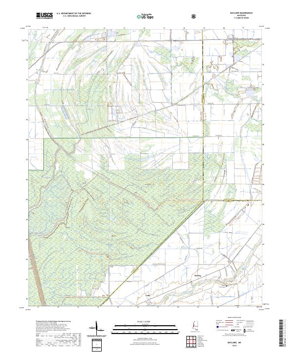
2024 Bayland
Sharkey County, MS

2024 Red Rock
Sharkey County, MS
2024 Richey
Sharkey County, MS
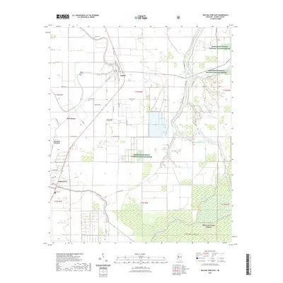
2024 Rolling Fork East
Sharkey County, MS