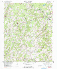
1981 Map of Richfield
USGS Topo · Published 1990About this map
The rolling hills of the Cabarrus and Stanly County line are dominated by a rural landscape of small settlements and religious centers as seen in the late 1970s. The town of Richfield serves as a local hub, while the academic grounds of Pfeiffer College anchor the community at Misenheimer. Transport and commerce follow the corridor of the Norfolk Southern railroad, which parallels the highway through the northeastern quadrant.
Find a feature on this map
34 named features on this map. Tap any name to fly to it.
Don’t see what you’re looking for? This feature index may not catch every label — zoom into the map to look around manually.
Map Details
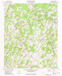
Editions of this 1981 Richfield Map
2 editions found
Other maps of this area

1949 · High Rock
USGS Topo · 1:24,000

1953 · Charlotte
USGS Topo · 1:250,000

1954 · Charlotte
USGS Topo · 1:250,000

1957 · Mount Pleasant
USGS Topo · 1:62,500

1957 · Albemarle
USGS Topo · 1:62,500

1957 · Denton
USGS Topo · 1:62,500

1960 · Charlotte
USGS Topo · 1:250,000

1962 · Charlotte
USGS Topo · 1:250,000
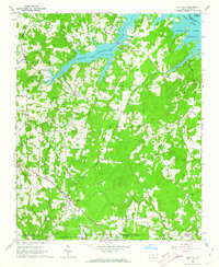
1962 · Gold Hill
USGS Topo · 1:24,000
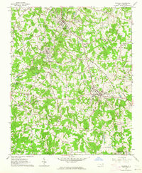
1962 · Rockwell
USGS Topo · 1:24,000