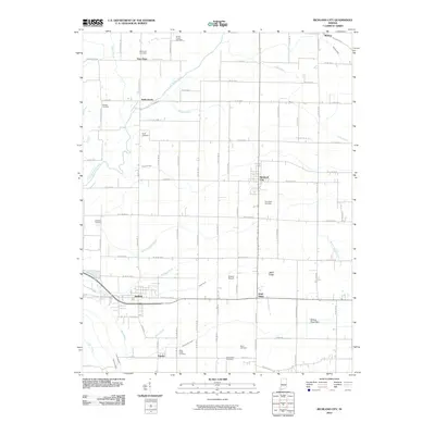
2010 Map of Richland City
USGS Topo · Published 2010About this map
Richland City serves as a central hub in this Spencer County landscape, where a dense grid of county roads connects scattered agricultural settlements. The terrain is defined by a complex network of man-made and natural drainage, including Hooppole Ditch and the Robert Richard Drain, which manage the water levels of the low-lying areas near the Willow Pond Bed. These drainage patterns reflect the region's long-standing effort to reclaim fertile land for farming.
Find a feature on this map
55 named features on this map. Tap any name to fly to it.
Don’t see what you’re looking for? This feature index may not catch every label — zoom into the map to look around manually.
Map Details
Editions of this 2010 Richland City Map
This is the sole edition of this map. No revisions or reprints were ever made.
Other maps of this area

1900 · De Gonia Springs
USGS Topo · 1:62,500

1901 · Owensboro
USGS Topo · 1:62,500

1902 · Ditney
USGS Topo · 1:125,000

1902 · Degonia Springs
USGS Topo · 1:62,500

1902 · Boonville
USGS Topo · 1:62,500

1905 · Newburg
USGS Topo · 1:62,500

1951 · Yankeetown
USGS Topo · 1:24,000

1952 · Owensboro East
USGS Topo · 1:24,000

1952 · Rockport
USGS Topo · 1:24,000

1952 · Owensboro West
USGS Topo · 1:24,000