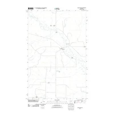
2011 Map of Richland
USGS Topo · Published 2011About this map
Richland sits as the central hub of this northern Montana landscape, where the Richland Post Office anchors the small community near the winding West Fork Poplar River. The terrain is defined by a network of drainage channels including Swift Coulee, Brockway Coulee, and Martin Coulee, which carve through the plains toward the river valley. To the south, the Battin Mine indicates localized extractive activity, while Tarum Dam suggests efforts to manage the area's water resources for agricultural or local use.
Find a feature on this map
19 named features on this map. Tap any name to fly to it.
Don’t see what you’re looking for? This feature index may not catch every label — zoom into the map to look around manually.
Map Details
Editions of this 2011 Richland Map
This is the sole edition of this map. No revisions or reprints were ever made.
Other maps of this area

1954 · Wolf Point
USGS Topo · 1:250,000

1954 · Glasgow
USGS Topo · 1:250,000

1957 · Glasgow
USGS Topo · 1:250,000

1958 · Wolf Point
USGS Topo · 1:250,000

1958 · Glasgow
USGS Topo · 1:250,000

1973 · Larslan NW
USGS Topo · 1:24,000

1973 · Horseshoe Basin
USGS Topo · 1:24,000

1973 · Brockway Spring
USGS Topo · 1:24,000

1973 · Flaherty Coulee
USGS Topo · 1:24,000

1973 · Johnnys Hill
USGS Topo · 1:24,000