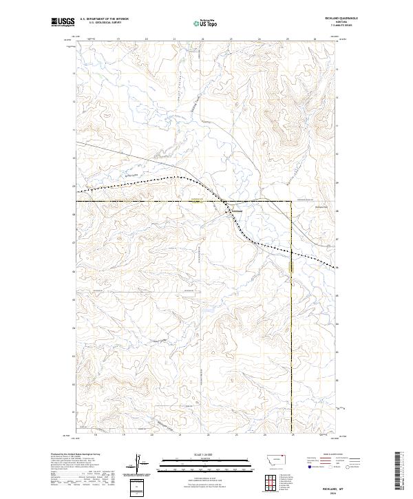
2024 Map of Richland
USGS Topo · Published 2024About this map
Richland sits at the intersection of Richland-Frazer Rd and Horseshoe Basin Rd, serving as the primary human settlement in this section of northeastern Montana. The landscape is defined by the winding course of the West Fork Poplar River, which is fed by numerous drainages including Swift Coulee and Brockway Coulee. The topography rises to the east at Richland Hill, overlooking a vast network of erosional features such as Martin Coulee and Dolson Coulee.
Find a feature on this map
22 named features on this map. Tap any name to fly to it.
Don’t see what you’re looking for? This feature index may not catch every label — zoom into the map to look around manually.
Map Details
Editions of this 2024 Richland Map
This is the sole edition of this map. No revisions or reprints were ever made.
Other maps of this area

1954 · Wolf Point
USGS Topo · 1:250,000

1954 · Glasgow
USGS Topo · 1:250,000

1957 · Glasgow
USGS Topo · 1:250,000

1958 · Wolf Point
USGS Topo · 1:250,000

1958 · Glasgow
USGS Topo · 1:250,000

1973 · Larslan NW
USGS Topo · 1:24,000

1973 · Horseshoe Basin
USGS Topo · 1:24,000

1973 · Brockway Spring
USGS Topo · 1:24,000

1973 · Flaherty Coulee
USGS Topo · 1:24,000

1973 · Johnnys Hill
USGS Topo · 1:24,000