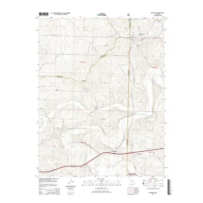
2015 Map of Richland
USGS Topo · Published 2015About this map
Richland serves as the primary hub in this Missouri landscape where the borders of Pulaski, Camden, and Laclede counties converge. The town layout is clearly defined by a grid including W Main St and E Jefferson Ave, while the Richland Municipal Airport sits just to the north. Local genealogy is supported by the inclusion of several burial grounds, including Oaklawn Cemetery, Dowty Cemetery, and Manes Cemetery.
Find a feature on this map
83 named features on this map. Tap any name to fly to it.
Don’t see what you’re looking for? This feature index may not catch every label — zoom into the map to look around manually.
Map Details
Editions of this 2015 Richland Map
This is the sole edition of this map. No revisions or reprints were ever made.
Other maps of this area

1933 · Stoutland
USGS Topo · 1:62,500

1938 · Stoutland
USGS Topo · 1:62,500

1941 · Lebanon
USGS Topo · 1:62,500

1943 · Richland
USGS Topo · 1:62,500

1943 · Lebanon
USGS Topo · 1:62,500

1943 · Drynob
USGS Topo · 1:62,500

1954 · Springfield
USGS Topo · 1:250,000

1954 · Drynob
USGS Topo · 1:62,500
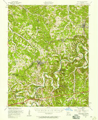
1954 · Richland
USGS Topo · 1:62,500
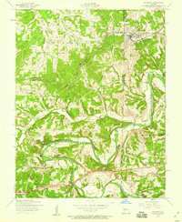
1954 · Richland
USGS Topo · 1:24,000