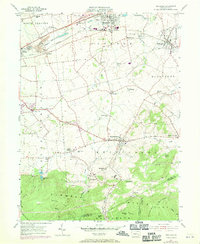
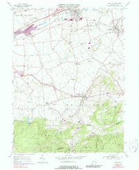
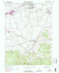
1955 Map of Richland
USGS Topo · Published 1970About this map
Myerstown and Schaefferstown anchor this mid-century view of Lebanon County, where agricultural valleys meet the wooded slopes of the White Oak Hills. The landscape reveals a dense network of local landmarks, including rural schoolhouses like the Milbach Sch and Cherry Lane Sch, alongside several community congregations such as Royers Ch and Heidelberg Ch. Transportation patterns are well-defined by the Reading Line and the historic Benjamin Franklin Highway, which parallel the course of Tulpehocken Creek.
Find a feature on this map
58 named features on this map. Tap any name to fly to it.
Don’t see what you’re looking for? This feature index may not catch every label — zoom into the map to look around manually.
Map Details
Editions of this 1955 Richland Map
6 editions found
Other maps of this area

1891 · Lebanon
USGS Topo · 1:62,500

1893 · Lebanon
USGS Topo · 1:62,500

1899 · Lebanon
USGS Topo · 1:62,500

1902 · Wernersville
USGS Topo · 1:62,500

1902 · Lancaster
USGS Topo · 1:62,500

1904 · Lancaster
USGS Topo · 1:62,500

1906 · New Holland
USGS Topo · 1:62,500

1908 · New Holland
USGS Topo · 1:62,500

1941 · New Holland
USGS Topo · 1:62,500

1943 · Lancaster
USGS Topo · 1:62,500
Featured Places
- Clay Township, PA
- Richland, PA
- Millcreek Township, PA
- Prescott, South Lebanon Township
- Jackson Township, PA