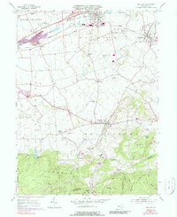
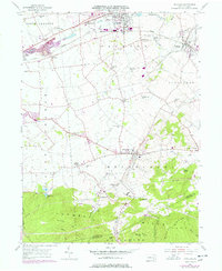
1955 Map of Richland
USGS Topo · Published 1988About this map
Myerstown and the surrounding townships of Jackson and Heidelberg define the agricultural and industrial character of this Pennsylvania landscape during the mid-20th century. The northern half of the sheet is marked by the heavy infrastructure of the Conrail lines and the developed corridors of West Myerstown and Richland, while the southern reaches transition into the wooded terrain of the Furnace Hills. Scattered throughout the limestone valleys are numerous rural institutions, including the School of Theology, several country schoolhouses like Milbach Sch and Spangler Sch, and historic congregations such as Royers Ch and Kralls Ch.
Find a feature on this map
53 named features on this map. Tap any name to fly to it.
Don’t see what you’re looking for? This feature index may not catch every label — zoom into the map to look around manually.
Map Details
Editions of this 1955 Richland Map
6 editions found
Other maps of this area

1891 · Lebanon
USGS Topo · 1:62,500

1893 · Lebanon
USGS Topo · 1:62,500

1899 · Lebanon
USGS Topo · 1:62,500

1902 · Wernersville
USGS Topo · 1:62,500

1902 · Lancaster
USGS Topo · 1:62,500

1904 · Lancaster
USGS Topo · 1:62,500

1906 · New Holland
USGS Topo · 1:62,500

1908 · New Holland
USGS Topo · 1:62,500

1941 · New Holland
USGS Topo · 1:62,500

1943 · Lancaster
USGS Topo · 1:62,500
Featured Places
- Clay Township, PA
- Richland, PA
- Millcreek Township, PA
- Prescott, South Lebanon Township
- Jackson Township, PA