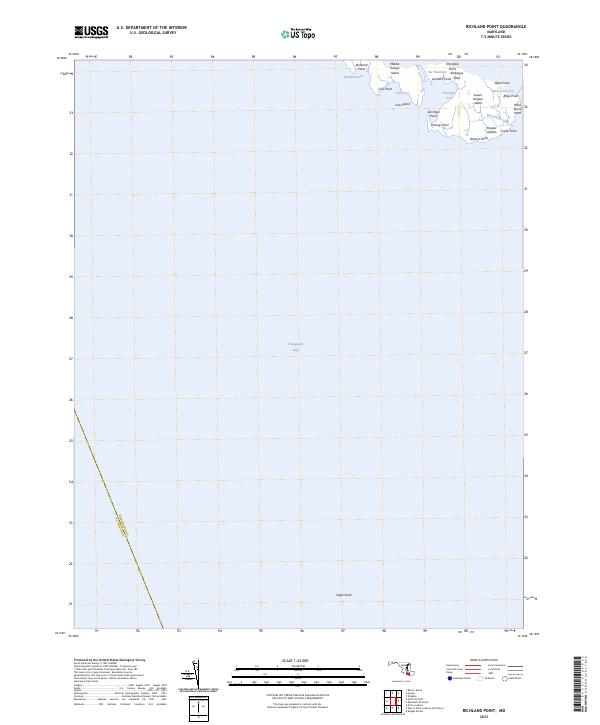
2023 Map of Richland Point
USGS Topo · Published 2023About this map
The Hooper Islands chain dominates this maritime landscape where the Chesapeake Bay meets the intricate waterways of Dorchester County. This coastal survey highlights the precarious nature of the lower Eastern Shore, focusing on Middle Hooper Island and Lower Hooper Island. The map records several family-named or descriptive landmarks that point to a long history of local navigation and subsistence, including Barbeque Point, Eel Hope Point, and the somberly named Mens Burial Point. The narrow water passage known as The Thorofare separates these landmasses, illustrating the tidal dependency of the area. Further south across open water, Eagle Point stands as a lonely marker along the boundary with St. Mary's County. The lack of inland roads emphasizes a world shaped entirely by the surrounding bay and its shifting shorelines.
Find a feature on this map
25 named features on this map. Tap any name to fly to it.
Don’t see what you’re looking for? This feature index may not catch every label — zoom into the map to look around manually.
Map Details
Editions of this 2023 Richland Point Map
This is the sole edition of this map. No revisions or reprints were ever made.
Other maps of this area

1892 · Drum Point
USGS Topo · 1:62,500

1894 · Point Lookout
USGS Topo · 1:62,500

1898 · St. Marys
USGS Topo · 1:125,000

1901 · Drum Point
USGS Topo · 1:62,500

1903 · Bloodsworth Island
USGS Topo · 1:62,500

1905 · Crapo
USGS Topo · 1:62,500

1905 · Drum Point
USGS Topo · 1:62,500

1906 · St. Marys
USGS Topo · 1:125,000

1912 · Point Lookout
USGS Topo · 1:62,500

1937 · Point Lookout
USGS Topo · 1:62,500