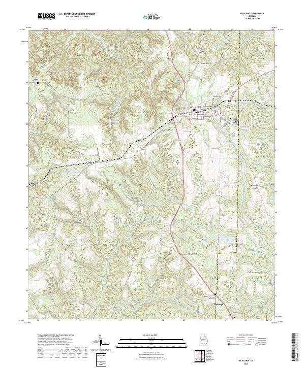
2024 Map of Richland
USGS Topo · Published 2024About this map
Richland serves as the primary hub in this Georgia landscape, situated at the intersection of several historic corridors including Broad St and Old Lumpkin Rd. The town layout is densely populated with community landmarks such as Cedarwood Cem and Harmony Cem, alongside a network of streets like Martin Luther King Jr and Nicholson St. To the south, the settlement of Kimbrough is anchored by the Bethel African Methodist Episcopal Church and New Mount Zion Cem, illustrating the importance of these small rural congregations and their associated burial grounds.
Find a feature on this map
68 named features on this map. Tap any name to fly to it.
Don’t see what you’re looking for? This feature index may not catch every label — zoom into the map to look around manually.
Map Details
Editions of this 2024 Richland Map
This is the sole edition of this map. No revisions or reprints were ever made.
Other maps of this area

1950 · Louvale
USGS Topo · 1:24,000

1950 · Lumpkin
USGS Topo · 1:24,000

1950 · Lumpkin
USGS Topo · 1:62,500

1953 · Dothan
USGS Topo · 1:250,000

1954 · Dothan
USGS Topo · 1:250,000

1955 · Dothan
USGS Topo · 1:250,000

1955 · Lumpkin
USGS Topo · 1:24,000
1955 · Louvale
USGS Topo · 1:24,000

1955 · Lumpkin
USGS Topo · 1:62,500

1955 · Phenix City
USGS Topo · 1:250,000