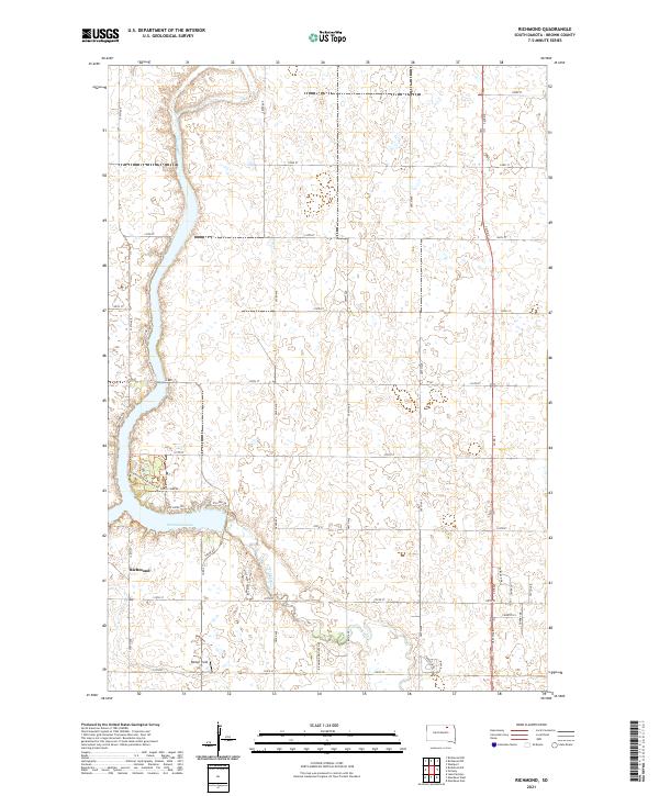
2021 Map of Richmond
USGS Topo · Published 2021About this map
Richmond Lake serves as the central geographic feature in this South Dakota landscape, where the prairie is etched by a network of sectional roads and small waterways. The unincorporated community of Richmond sits on the western edge of the water, flanked by residential development and recreation-oriented routes like Richmond Forest Drive Trl and N Shore Dr. This modern 2021 survey reveals a landscape of transition, where established agricultural townships meet newer shoreline settlements.
Find a feature on this map
43 named features on this map. Tap any name to fly to it.
Don’t see what you’re looking for? This feature index may not catch every label — zoom into the map to look around manually.
Map Details
Editions of this 2021 Richmond Map
This is the sole edition of this map. No revisions or reprints were ever made.
Other maps of this area

1894 · Columbia
USGS Topo · 1:62,500

1895 · Aberdeen
USGS Topo · 1:125,000

1896 · Columbia
USGS Topo · 1:125,000

1899 · Ellendale
USGS Topo · 1:125,000

1899 · Northville
USGS Topo · 1:125,000

1952 · Ordway
USGS Topo · 1:24,000

1952 · Westport
USGS Topo · 1:24,000

1952 · Richmond NE
USGS Topo · 1:24,000

1954 · Aberdeen
USGS Topo · 1:250,000

1956 · Aberdeen
USGS Topo · 1:250,000
Featured Places
- Richmond Lake Heights Development, SD
- Aberdeen Township, SD
- Carlisle Township, SD
- Lincoln Township, SD
- Mercier Township, SD