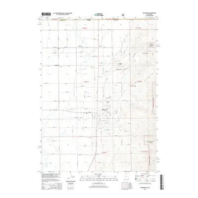
2014 Map of Richmond
USGS Topo · Published 2014About this map
Richmond and Lewiston serve as the primary population centers along the northern Cache Valley, split by the Cub River as it winds toward its confluence with the Bear River. This 2014 survey documents the agricultural and residential layout just south of the Idaho-Utah state line, where the valley floor transitions into the rising slopes of the Cache National Forest. The map is particularly useful for local historians tracking land use, showing established sites such as the Richmond City Cem and Lewiston City Cem, along with numerous natural water sources like Stewart Spring and Cherry Creek Spring. The eastern edge of the quadrangle is defined by the steep canyon geography of High Cr and City Cr, while the western valley is marked by a grid of rural roads and the Rocky Ridge Reservoir, illustrating the critical role of water management in this high-altitude basin.
Find a feature on this map
39 named features on this map. Tap any name to fly to it.
Don’t see what you’re looking for? This feature index may not catch every label — zoom into the map to look around manually.
Map Details
Editions of this 2014 Richmond Map
This is the sole edition of this map. No revisions or reprints were ever made.
Other maps of this area

1914 · Logan
USGS Topo · 1:125,000

1915 · Preston
USGS Topo · 1:96,000

1916 · Logan
USGS Topo · 1:125,000

1918 · Preston
USGS Topo · 1:125,000

1954 · Ogden
USGS Topo · 1:250,000

1955 · Preston
USGS Topo · 1:250,000

1958 · Ogden
USGS Topo · 1:250,000

1958 · Preston
USGS Topo · 1:250,000

1960 · Ogden
USGS Topo · 1:250,000

1962 · Preston
USGS Topo · 1:250,000