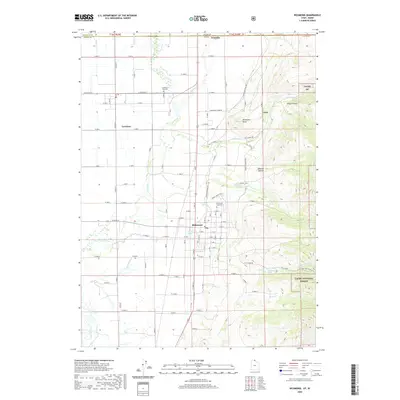
2020 Map of Richmond
USGS Topo · Published 2020About this map
Richmond and Lewiston serve as the primary hubs in this Cache Valley landscape, where the Idaho-Utah state line divides the northern agricultural reaches from the mountainous terrain of the Cache National Forest. The geography is defined by a complex network of waterways, most notably the Cub River, which snakes through the valley floor, and the E Canal that supports the region's farming heritage. Along the eastern edge, the topography rises sharply into the Bear River Range, featuring deep drainages like Prater Hollow and Oxkiller Hollow that descend from Richmond Knoll. Local history is anchored by long-standing community landmarks, including the Lewiston City Cem and Richmond City Cem. Traces of earlier industry are evident near the foothills, such as the City Creek Mine located along City Creek, while numerous natural sources like Stewart Spring and Cherry Creek Spring highlight the essential role of water in the settlement of this high-elevation valley.
Find a feature on this map
75 named features on this map. Tap any name to fly to it.
Don’t see what you’re looking for? This feature index may not catch every label — zoom into the map to look around manually.
Map Details
Editions of this 2020 Richmond Map
This is the sole edition of this map. No revisions or reprints were ever made.
Other maps of this area

1914 · Logan
USGS Topo · 1:125,000

1915 · Preston
USGS Topo · 1:96,000

1916 · Logan
USGS Topo · 1:125,000

1918 · Preston
USGS Topo · 1:125,000

1954 · Ogden
USGS Topo · 1:250,000

1955 · Preston
USGS Topo · 1:250,000

1958 · Ogden
USGS Topo · 1:250,000

1958 · Preston
USGS Topo · 1:250,000

1960 · Ogden
USGS Topo · 1:250,000

1962 · Preston
USGS Topo · 1:250,000