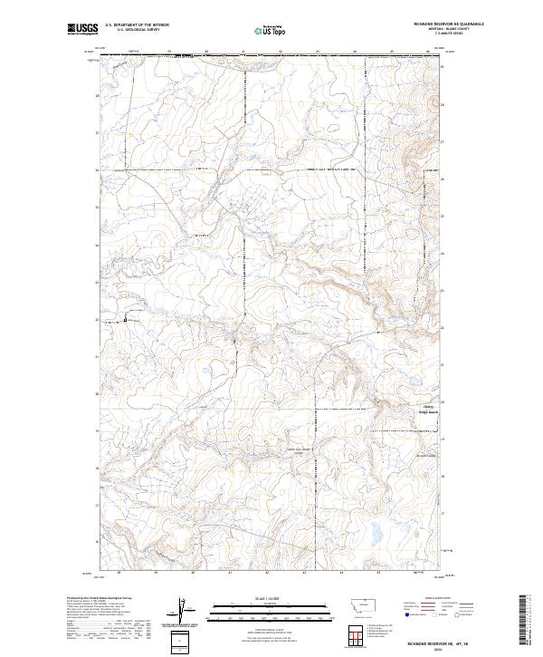
2024 Map of Richmond Reservoir NE
USGS Topo · Published 2024About this map
East Fork Battle Creek meanders through the heart of this Blaine County landscape, defining a network of drainage basins and coulees. The terrain is marked by significant topographical relief, where seasonal watercourses like Sand Coulee and Corral Coulee have carved deep into the high plains. Human presence in this section of Montana is characterized by isolated homesteads and ranching operations, most notably Cherry Ridge Ranch near the southeastern boundary.
Find a feature on this map
18 named features on this map. Tap any name to fly to it.
Don’t see what you’re looking for? This feature index may not catch every label — zoom into the map to look around manually.
Map Details
Editions of this 2024 Richmond Reservoir NE Map
This is the sole edition of this map. No revisions or reprints were ever made.
Other maps of this area

1912 · Zurich
USGS Topo · 1:125,000

1913 · Cherry Ridge
USGS Topo · 1:125,000

1953 · Havre
USGS Topo · 1:250,000

1957 · Havre
USGS Topo · 1:250,000

1958 · Havre
USGS Topo · 1:250,000

1984 · Richmond Reservoir
USGS Topo · 1:24,000
1984 · Richmond Reservoir SW
USGS Topo · 1:24,000
1984 · Silver Bow Lake
USGS Topo · 1:24,000

1984 · Havre
USGS Topo · 1:100,000
1984 · Irvins Coulee
USGS Topo · 1:24,000