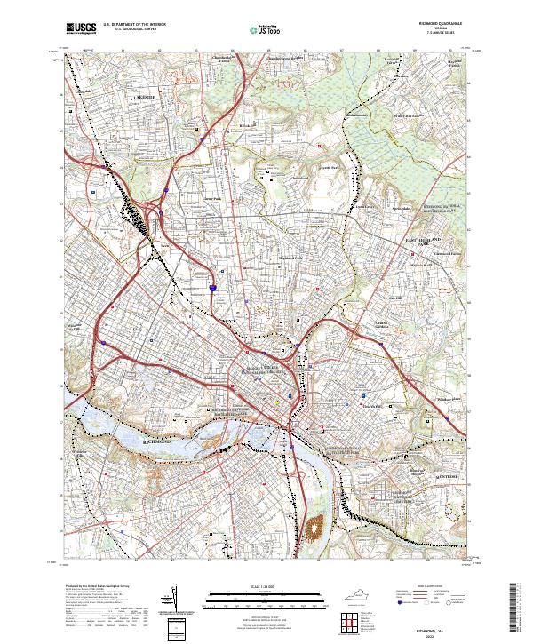
2022 Map of Richmond
USGS Topo · Published 2022About this map
The James River corridor anchors this view of the Virginia state capital, revealing the dense overlay of urban history, industrial transport, and hallowed ground. Significant acreage is dedicated to preservation and memory, from the Hollywood Cem and Oakwood Cem to the Richmond National Cemetery and Maggie L Walker National Historic Site. These sites reflect the city's complex social and military past, particularly where they interface with the James River at Belle Isle and Browns Island.
Find a feature on this map
106 named features on this map. Tap any name to fly to it.
Don’t see what you’re looking for? This feature index may not catch every label — zoom into the map to look around manually.
Map Details
Editions of this 2022 Richmond Map
This is the sole edition of this map. No revisions or reprints were ever made.
Other maps of this area

1890 · Goochland
USGS Topo · 1:125,000

1892 · Goochland
USGS Topo · 1:125,000

1894 · Bermuda Hundred
USGS Topo · 1:62,500

1894 · Richmond
USGS Topo · 1:62,500

1895 · Richmond
USGS Topo · 1:62,500

1897 · Amelia
USGS Topo · 1:125,000

1934 · Seven Pines
USGS Topo · 1:24,000

1934 · Richmond
USGS Topo · 1:24,000

1936 · Richmond West
USGS Topo · 1:24,000

1936 · Glen Allen
USGS Topo · 1:24,000