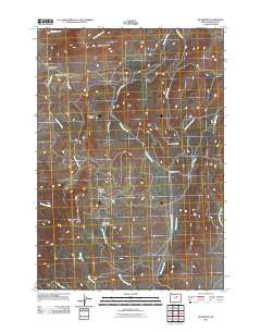
2011 Map of Richmond
USGS Topo · Published 2011About this map
Richmond sits at the intersection of several high-desert drainages in Wheeler County, serving as a focal point for a landscape defined by ranching and high ridges. The area’s rugged character is evident in the network of seasonal creeks and canyons, such as Bone Yard Canyon and Hardscrabble Creek, which carve through the volcanic geology of central Oregon. The map detail highlights the sparse but essential infrastructure of the region, anchored by the Richmond-Sixshooter Rd which connects the primary settlement to the Sixshooter Ranch. High-altitude landmarks like Butler Mountain and Iron Mountain tower over the valley floor, while unique plateaus such as Floating Prairie and the evocative Sheet Iron Jack Meadow suggest the early grazing and homesteading history of the territory. This documentation captures the enduring isolation and topographical complexity of the Ochoco Mountains' northern fringes.
Find a feature on this map
25 named features on this map. Tap any name to fly to it.
Don’t see what you’re looking for? This feature index may not catch every label — zoom into the map to look around manually.
Map Details
Editions of this 2011 Richmond Map
This is the sole edition of this map. No revisions or reprints were ever made.
Other maps of this area
1926 · Mitchell
USGS Topo · 1:125,000
1953 · Richmond
USGS Topo · 1:62,500
1953 · Spray
USGS Topo · 1:62,500
1955 · Bend
USGS Topo · 1:250,000
1955 · Canyon City
USGS Topo · 1:250,000
1957 · Bend
USGS Topo · 1:250,000
1958 · Bend
USGS Topo · 1:250,000
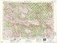
1959 · Canyon City
USGS Topo · 1:250,000
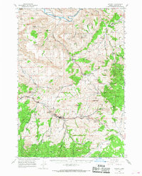
1966 · Mitchell
USGS Topo · 1:62,500
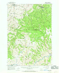
1966 · Kinzua
USGS Topo · 1:62,500