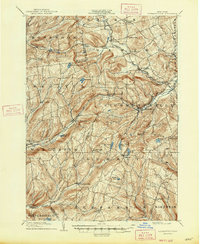
1904 Map of Richmondville
USGS Topo · Published 1947About this map
Richmondville and the surrounding townships of Schoharie and Otsego counties are captured here at the turn of the century, revealing a landscape defined by high-elevation settlements and valley rail corridors. The Delaware and Hudson R. R. follows the path of Schenevus Creek through Worcester, providing a critical transportation link for the villages of East Worcester and Hyndsville. To the south and east, the terrain rises into the highlands of Summit and Jefferson, where small hamlets like Lutheranville and Eminence sit near the headwaters of the Charlotte River. Numerous family-named landmarks such as Beekman Corners, Baird Corners, and Weber Corners indicate the distributed nature of local farming communities. Prominent water features like Summit Lake and Bear Gulch Pond punctuate the ridges, while Cobleskill Creek carves through the northeastern corner near Lawyersville.
Find a feature on this map
59 named features on this map. Tap any name to fly to it.
Don’t see what you’re looking for? This feature index may not catch every label — zoom into the map to look around manually.
Map Details
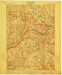
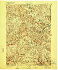
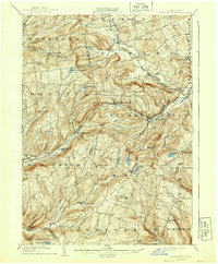
Editions of this 1904 Richmondville Map
5 editions found

Other maps of this area

1896 · Fonda
USGS Topo · 1:62,500

1898 · Fonda
USGS Topo · 1:62,500

1898 · Canajoharie
USGS Topo · 1:62,500

1898 · Schoharie
USGS Topo · 1:62,500

1900 · Canajoharie
USGS Topo · 1:62,500

1900 · Schoharie
USGS Topo · 1:62,500

1901 · Gilboa
USGS Topo · 1:62,500

1902 · Canajoharie
USGS Topo · 1:62,500

1902 · Fonda
USGS Topo · 1:62,500

1903 · Gilboa
USGS Topo · 1:62,500