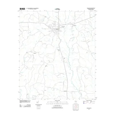
2012 Map of Richton
USGS Topo · Published 2012About this map
Richton serves as the central hub of this South Mississippi landscape, situated at the intersection of local industry and rural heritage. The town's grid is dense with residential streets like Wisteria Ave and Sycamore Ave, while the Publically Owned Treatment Works and the Po signify its role as a regional service center. To the south, the Richton-Perry County Airport and the Richton Lookout Tower indicate modern infrastructure and forestry management, respectively.
Find a feature on this map
79 named features on this map. Tap any name to fly to it.
Don’t see what you’re looking for? This feature index may not catch every label — zoom into the map to look around manually.
Map Details
Editions of this 2012 Richton Map
This is the sole edition of this map. No revisions or reprints were ever made.
Other maps of this area

1947 · Beaumont
USGS Topo · 1:62,500

1947 · New Augusta
USGS Topo · 1:62,500

1949 · Beaumont
USGS Topo · 1:62,500

1949 · New Augusta
USGS Topo · 1:62,500

1953 · Hattiesburg
USGS Topo · 1:250,000

1958 · Hattiesburg
USGS Topo · 1:250,000

1963 · Brewer
USGS Topo · 1:24,000

1964 · Rhodes
USGS Topo · 1:24,000

1964 · Ovett SE
USGS Topo · 1:24,000

1964 · Ovett
USGS Topo · 1:24,000