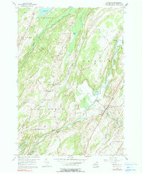
1956 Map of Richville
USGS Topo · Published 1991About this map
The Oswegatchie River meanders through the heart of St. Lawrence County, shaping the rural landscape near Richville during the mid-1950s. This survey illustrates a resilient agricultural and social network defined by crossroads settlements like Staplin Corners and North Gouverneur. Local genealogy is well-preserved through the inclusion of the North Gouverneur Cem, Wayside Cem, and the North Gouverneur Ch. The land's character is further defined by the broad Spooner Flat and the elevations of Huckleberry Mtn, with drainage provided by the South Branch Beaver Creek. The map records a time when rural education was still anchored by localized landmarks such as the Billings Sch and Grays Sch, connected by an extensive network of named local roads including New York Road and Colton Road.
Find a feature on this map
47 named features on this map. Tap any name to fly to it.
Don’t see what you’re looking for? This feature index may not catch every label — zoom into the map to look around manually.
Map Details
Editions of this 1956 Richville Map
3 editions found
Other maps of this area

1904 · Ogdensburg
USGS Topo · 1:62,500

1905 · Ogdensburg
USGS Topo · 1:62,500

1906 · Brier Hill
USGS Topo · 1:62,500

1912 · Hammond
USGS Topo · 1:62,500

1915 · Gouverneur
USGS Topo · 1:62,500

1937 · Gouverneur
USGS Topo · 1:62,500

1943 · Rensselaer Falls
USGS Topo · 1:31,680

1943 · Edwardsville
USGS Topo · 1:31,680
1943 · Heuvelton
USGS Topo · 1:31,680

1944 · Hammond
USGS Topo · 1:62,500