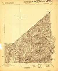
1921 Map of Richwood
USGS Topo · Published 1921About this map
Meadow River and Hominy Creek define the complex drainage of the Greenbrier and Nicholas county line in this preliminary survey. The landscape is characterized by a dense network of ridges and knobs, including Beech Ridge, Big Stone Ridge, and Sewell Mountain. Small rural communities and isolated landmarks appear throughout the Williamsburg District, reflecting a period of decentralized mountain settlement.
Find a feature on this map
42 named features on this map. Tap any name to fly to it.
Don’t see what you’re looking for? This feature index may not catch every label — zoom into the map to look around manually.
Map Details
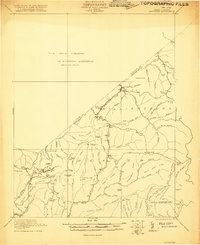
Editions of this 1921 Richwood Map
2 editions found
Other maps of this area

1887 · Hinton
USGS Topo · 1:125,000

1887 · Lewisburg
USGS Topo · 1:125,000

1889 · Nicholas
USGS Topo · 1:125,000

1891 · Lewisburg
USGS Topo · 1:125,000

1891 · Nicholas
USGS Topo · 1:125,000

1891 · Huntersville
USGS Topo · 1:125,000

1892 · Hinton
USGS Topo · 1:125,000

1894 · Huntersville
USGS Topo · 1:125,000

1901 · Nicholas
USGS Topo · 1:125,000

1912 · Meadow Creek
USGS Topo · 1:48,000