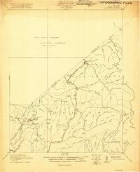
1921 Map of Richwood
USGS Topo · Published 1921About this map
Vetsville Mill stands along the upper reaches of McMillion Creek in this preliminary 1921 survey, anchoring a landscape where the Nicholas and Greenbrier county lines divide high ridges and deep watercourses. The map documents a rural network of community life established before modern development, marked by the presence of numerous neighborhood schools including Baber School, Fallbrook School, and Big Stone School.
Find a feature on this map
84 named features on this map. Tap any name to fly to it.
Don’t see what you’re looking for? This feature index may not catch every label — zoom into the map to look around manually.
Map Details
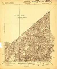
Editions of this 1921 Richwood Map
2 editions found
Other maps of this area

1887 · Hinton
USGS Topo · 1:125,000

1887 · Lewisburg
USGS Topo · 1:125,000

1889 · Nicholas
USGS Topo · 1:125,000

1891 · Lewisburg
USGS Topo · 1:125,000

1891 · Nicholas
USGS Topo · 1:125,000

1891 · Huntersville
USGS Topo · 1:125,000

1892 · Hinton
USGS Topo · 1:125,000

1894 · Huntersville
USGS Topo · 1:125,000

1901 · Nicholas
USGS Topo · 1:125,000

1912 · Meadow Creek
USGS Topo · 1:48,000