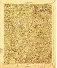
1923 Map of Richwood
USGS Topo · Published 1923About this map
The Baltimore and Ohio Railroad snakes through the mountainous terrain of Nicholas and Greenbrier counties, serving the industrial heart of Richwood and the smaller settlements of Fenwick and Dain. This early 1920s topography reveals a landscape transitioning between remote timber-rich ridges and burgeoning mining or industrial hubs like Quinwood, Crichton, and Bellburn. The map documents a dense network of local education, featuring dozens of rural campuses such as Snow Hill School, Eureka School, and Mayflower School, often located at remote crossroads or along creek forks.
Find a feature on this map
142 named features on this map. Tap any name to fly to it.
Don’t see what you’re looking for? This feature index may not catch every label — zoom into the map to look around manually.
Map Details
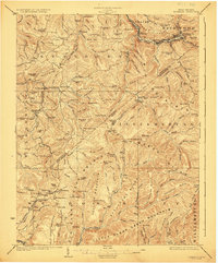
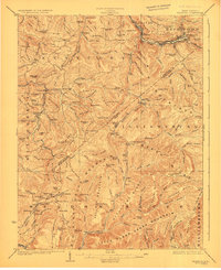
Editions of this 1923 Richwood Map
3 editions found
Other maps of this area

1887 · Hinton
USGS Topo · 1:125,000

1887 · Lewisburg
USGS Topo · 1:125,000

1889 · Nicholas
USGS Topo · 1:125,000

1891 · Lewisburg
USGS Topo · 1:125,000

1891 · Nicholas
USGS Topo · 1:125,000

1891 · Huntersville
USGS Topo · 1:125,000

1892 · Hinton
USGS Topo · 1:125,000

1894 · Huntersville
USGS Topo · 1:125,000

1901 · Nicholas
USGS Topo · 1:125,000

1912 · Meadow Creek
USGS Topo · 1:48,000