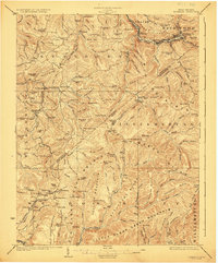
1923 Map of Richwood
USGS Topo · Published 1923About this map
The Gauley River and Cherry River converge near Richwood, where the Baltimore and Ohio RR follows the narrow valley floor to serve the timber and industrial needs of the region. This 1923 survey captures the complex topography of the Nicholas Co and Greenbrier Co border, a landscape defined by prominent ridges like Kentucky Mountain and Beech Ridge. In the upland coves and along the creek forks, a dense network of country schools served remote communities, including the Mayflower School, Wahoo School, and Hellen School. Industry is represented by small-scale milling operations such as Hominy Mill and Jetsville Mill, while vanished social centers like Namos Chapel and Linn Low Place suggest the era's scattered settlement patterns before modern consolidation.
Find a feature on this map
150 named features on this map. Tap any name to fly to it.
Don’t see what you’re looking for? This feature index may not catch every label — zoom into the map to look around manually.
Map Details
Editions of this 1923 Richwood Map
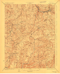
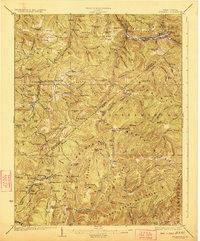
3 editions found
Other maps of this area

1887 · Hinton
USGS Topo · 1:125,000

1887 · Lewisburg
USGS Topo · 1:125,000

1889 · Nicholas
USGS Topo · 1:125,000

1891 · Lewisburg
USGS Topo · 1:125,000

1891 · Nicholas
USGS Topo · 1:125,000

1891 · Huntersville
USGS Topo · 1:125,000

1892 · Hinton
USGS Topo · 1:125,000

1894 · Huntersville
USGS Topo · 1:125,000

1901 · Nicholas
USGS Topo · 1:125,000

1912 · Meadow Creek
USGS Topo · 1:48,000