Loading...
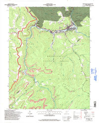
Loading map...2023 Map of Richwood
USGS Topo · Published 2023About this map
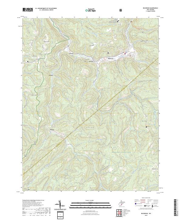
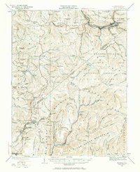
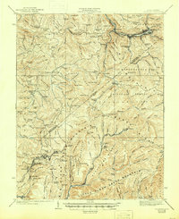
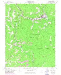
Richwood and Fenwick anchor this Nicholas County landscape where the North Fork Cherry River and South Fork Cherry River converge. The topography is defined by significant ridges and family-named knobs, including Tanner Knob, Dad Knob, and Kerless Knob. Local industry and rural infrastructure are evidenced by features like Handle Factory Hollow and a network of mountain roads such as Stony Lonesome Rd and Nettie Fenwick Rd.
Find a feature on this map
61 named features on this map. Tap any name to fly to it.
Don’t see what you’re looking for? This feature index may not catch every label — zoom into the map to look around manually.
Map Details
Date Portrayed2023
Date Published2023
PublisherU.S. Geological Survey
Map TypeTopographic
Scale1:24000
Physical Dimensions24 x 29 inches
Editions of this 2023 Richwood Map
This is the sole edition of this map. No revisions or reprints were ever made.
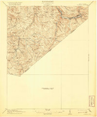
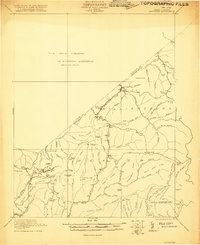
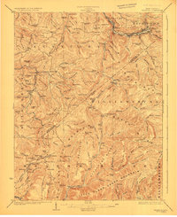
Historical Maps of Jetsville Through Time
8 maps found
Featured Locations
Source Details
SourceU.S. Geological Survey
CopyrightPublic Domain