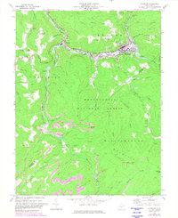
1972 Map of Richwood
USGS Topo · Published 1982About this map
The Cherry River defines the industrial and residential corridors of this West Virginia mountain landscape, where the town of Richwood sits at the convergence of several major drainages. During the early 1970s, the region's economy is clearly visible through the presence of numerous Strip Mine sites and a Mine Dump scattered across the Monongahela National Forest. Transportation networks like the Chesapeake And Ohio railroad and the Baltimore And Ohio line emphasize the area's role in coal and timber transit. Deep in the woods, small mountain communities and rural landmarks persist, including Fenwick, La Frank, and the Milltown Sch. The rugged boundary between Nicholas Co Greenbrier Co crosses over Williamsburg Mountain, anchoring a terrain marked by isolated peaks like Kerless Knob and Manning Knob.
Find a feature on this map
64 named features on this map. Tap any name to fly to it.
Don’t see what you’re looking for? This feature index may not catch every label — zoom into the map to look around manually.
Map Details
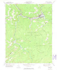
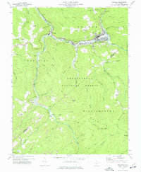
Editions of this 1972 Richwood Map
3 editions found
Other maps of this area

1889 · Nicholas
USGS Topo · 1:125,000

1891 · Nicholas
USGS Topo · 1:125,000

1891 · Huntersville
USGS Topo · 1:125,000

1894 · Huntersville
USGS Topo · 1:125,000

1901 · Nicholas
USGS Topo · 1:125,000

1915 · Webster Springs
USGS Topo · 1:48,000

1915 · Cowen
USGS Topo · 1:48,000

1917 · Cowen
USGS Topo · 1:62,500

1918 · Webster Springs
USGS Topo · 1:62,500

1918 · Richwood
USGS Topo · 1:62,500