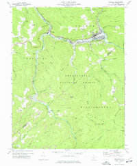
1972 Map of Richwood
USGS Topo · Published 1977About this map
Richwood serves as the industrial and social anchor of this 1970s survey, situated at the confluence where the North Fork Cherry River and South Fork Cherry River merge. The town's layout reflects its heavy reliance on timber and rail, with the Cherry River Boom And Lumber Co and the Baltimore And Ohio railroad tracks tracing the riverbanks. Beyond the concentrated development of La Frank and Fenwick, the landscape rises sharply into the Monongahela National Forest, where the terrain is dominated by ridges like Beaver Ridge and peaks such as Mann Knob. This period shows a rugged mountain economy transitioning between resource extraction and forestry management. Small rural pockets like Jetsville and the family-associated Baber Cem are connected by high-elevation routes like Kentucky Road, while local landmarks such as the Gauley Ranger Station and Namo Chapel provide evidence of isolated community hubs in the Nicholas and Greenbrier county borderlands.
Find a feature on this map
66 named features on this map. Tap any name to fly to it.
Don’t see what you’re looking for? This feature index may not catch every label — zoom into the map to look around manually.
Map Details
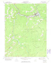
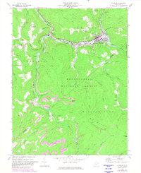
Editions of this 1972 Richwood Map
3 editions found
Other maps of this area

1889 · Nicholas
USGS Topo · 1:125,000

1891 · Nicholas
USGS Topo · 1:125,000

1891 · Huntersville
USGS Topo · 1:125,000

1894 · Huntersville
USGS Topo · 1:125,000

1901 · Nicholas
USGS Topo · 1:125,000

1915 · Webster Springs
USGS Topo · 1:48,000

1915 · Cowen
USGS Topo · 1:48,000

1917 · Cowen
USGS Topo · 1:62,500

1918 · Webster Springs
USGS Topo · 1:62,500

1918 · Richwood
USGS Topo · 1:62,500