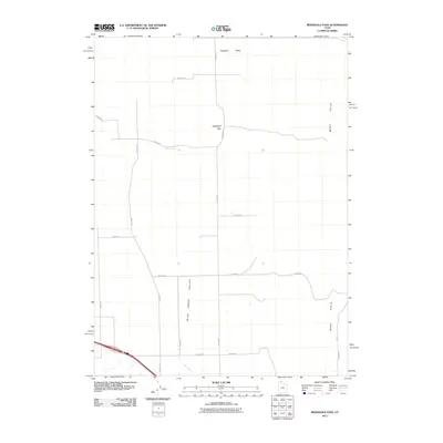
2011 Map of Ridgedale Pass
USGS Topo · Published 2011About this map
Ridgedale Pass serves as a critical geographic crossing in northern Utah, bridging the high terrain of the West Hills and the broad expanses of the Blue Creek Valley. This 2011 survey captures a landscape defined by its agricultural and transit patterns, where the drainage of Blue Creek winds southward through the valley floor. The map highlights a meticulous grid of rural routes such as 17200 W Rd and 18800 W Rd, which facilitate movement through this cattle-and-grain country. Of particular note is the Indian Trl in the southern portion of the quadrangle, suggesting long-standing travel corridors that predate the modern road system. The northern reaches transition into the Pocatello Valley, illustrating the connectivity of these high-desert basins.
Find a feature on this map
18 named features on this map. Tap any name to fly to it.
Don’t see what you’re looking for? This feature index may not catch every label — zoom into the map to look around manually.
Map Details
Editions of this 2011 Ridgedale Pass Map
This is the sole edition of this map. No revisions or reprints were ever made.
Other maps of this area

1954 · Pocatello
USGS Topo · 1:250,000

1954 · Brigham City
USGS Topo · 1:250,000

1958 · Pocatello
USGS Topo · 1:250,000

1958 · Brigham City
USGS Topo · 1:250,000

1962 · Brigham City
USGS Topo · 1:250,000

1968 · Grover Canyon
USGS Topo · 1:24,000

1968 · Samaria
USGS Topo · 1:24,000
1968 · Limekiln Knoll
USGS Topo · 1:24,000

1968 · Howell
USGS Topo · 1:24,000

1968 · Ridgedale Pass
USGS Topo · 1:24,000