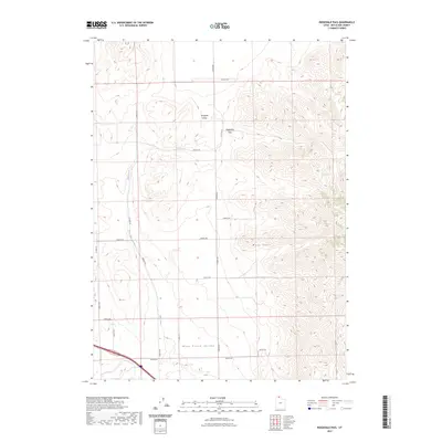
2023 Map of Ridgedale Pass
USGS Topo · Published 2023About this map
Pocatello Valley and Blue Creek Valley define this high-altitude landscape of northern Utah, where the terrain is marked by the prominence of the West Hills. A network of surveyed section roads, including 25000 N RD and 22400 N RD, overlays a basin-and-range topography, reflecting the organized grid of the Public Land Survey System. The passage between these two valleys is facilitated by Ridgedale Pass, a natural gap in the ridgeline that serves as a focal point for movement through the region. The seasonal or perennial drainage of Blue Creek provides the primary hydrological feature in an otherwise arid environment. Along the southern slopes of the hills, the presence of the Indian Trl suggests long-established routes of travel that precede the modern automotive grid.
Find a feature on this map
19 named features on this map. Tap any name to fly to it.
Don’t see what you’re looking for? This feature index may not catch every label — zoom into the map to look around manually.
Map Details
Editions of this 2023 Ridgedale Pass Map
This is the sole edition of this map. No revisions or reprints were ever made.
Other maps of this area

1954 · Pocatello
USGS Topo · 1:250,000

1954 · Brigham City
USGS Topo · 1:250,000

1958 · Pocatello
USGS Topo · 1:250,000

1958 · Brigham City
USGS Topo · 1:250,000

1962 · Brigham City
USGS Topo · 1:250,000

1968 · Grover Canyon
USGS Topo · 1:24,000

1968 · Samaria
USGS Topo · 1:24,000
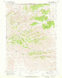
1968 · Limekiln Knoll
USGS Topo · 1:24,000

1968 · Howell
USGS Topo · 1:24,000

1968 · Ridgedale Pass
USGS Topo · 1:24,000