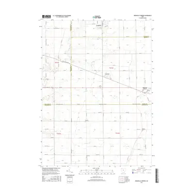
2016 Map of Ridgeville Corners
USGS Topo · Published 2016About this map
Archbold anchors the northern edge of this Northwest Ohio landscape, where the flat till plains are etched by a dense network of seasonal drainages and local creeks. The village of Ridgeville Corners sits further south at the junction of Us Rte 6 and Co RD 21a, serving as a focal point for the surrounding agricultural sections. The map reveals a high concentration of Lutheran heritage and local genealogy, evidenced by the numerous cemeteries and churches such as Saint Johns Cem, Saint Marks Lutheran Cem, and Bethlehem Lutheran Cem.
Find a feature on this map
112 named features on this map. Tap any name to fly to it.
Don’t see what you’re looking for? This feature index may not catch every label — zoom into the map to look around manually.
Map Details
Editions of this 2016 Ridgeville Corners Map
This is the sole edition of this map. No revisions or reprints were ever made.
Other maps of this area

1907 · Defiance
USGS Topo · 1:62,500

1908 · Napoleon
USGS Topo · 1:62,500

1909 · Defiance
USGS Topo · 1:62,500

1911 · Wauseon
USGS Topo · 1:62,500

1913 · Wauseon
USGS Topo · 1:62,500

1913 · Alvordton
USGS Topo · 1:62,500

1943 · Wauseon
USGS Topo · 1:62,500

1944 · Alvordton
USGS Topo · 1:62,500

1953 · Fort Wayne
USGS Topo · 1:250,000

1956 · Fort Wayne
USGS Topo · 1:250,000