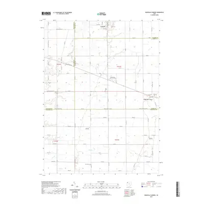
2019 Map of Ridgeville Corners
USGS Topo · Published 2019About this map
The northern edge of Archbold anchors this landscape where three counties — Fulton, Henry, and Williams — converge. This 2019 survey captures the highly organized agricultural grid of Northwest Ohio, punctuated by the unincorporated community of Ridgeville Corners to the east. The map reflects the region's long-standing dedication to rural education and faith, prominently featuring the Northwest State Community College campus and numerous country burial grounds such as Saint Johns Cem and Saint Marks Lutheran Cem.
Find a feature on this map
84 named features on this map. Tap any name to fly to it.
Don’t see what you’re looking for? This feature index may not catch every label — zoom into the map to look around manually.
Map Details
Editions of this 2019 Ridgeville Corners Map
This is the sole edition of this map. No revisions or reprints were ever made.
Other maps of this area

1907 · Defiance
USGS Topo · 1:62,500

1908 · Napoleon
USGS Topo · 1:62,500

1909 · Defiance
USGS Topo · 1:62,500

1911 · Wauseon
USGS Topo · 1:62,500

1913 · Wauseon
USGS Topo · 1:62,500

1913 · Alvordton
USGS Topo · 1:62,500

1943 · Wauseon
USGS Topo · 1:62,500

1944 · Alvordton
USGS Topo · 1:62,500

1953 · Fort Wayne
USGS Topo · 1:250,000

1956 · Fort Wayne
USGS Topo · 1:250,000