
1920 Map of Ridgeville
USGS Topo · Published 1920About this map
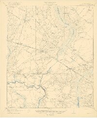
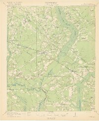
Four Hole Swamp and Cypress Swamp dominate this Lowcountry landscape, illustrating a complex network of waterways and wetlands that shaped early 20th-century settlement in South Carolina. The Southern railroad bisects the region, connecting the rural communities of Ridgeville, Dorchester, and Pregnall. The Edisto River winds along the southwestern boundary, featuring local landmarks like Scotch Bluff and the Givhans Bridge.
Find a feature on this map
81 named features on this map. Tap any name to fly to it.
Don’t see what you’re looking for? This feature index may not catch every label — zoom into the map to look around manually.
Map Details
Editions of this 1920 Ridgeville Map
3 editions found
Other maps of this area

1918 · Walterboro
USGS Topo · 1:62,500

1918 · Cottageville
USGS Topo · 1:62,500

1919 · Summerville
USGS Topo · 1:48,000

1919 · Ridgeville
USGS Topo · 1:48,000

1920 · Eutawville
USGS Topo · 1:48,000

1920 · Chicora
USGS Topo · 1:48,000

1920 · Bowman
USGS Topo · 1:48,000

1920 · Ravenels
USGS Topo · 1:62,500

1920 · St. George
USGS Topo · 1:48,000

1920 · Summerville
USGS Topo · 1:62,500