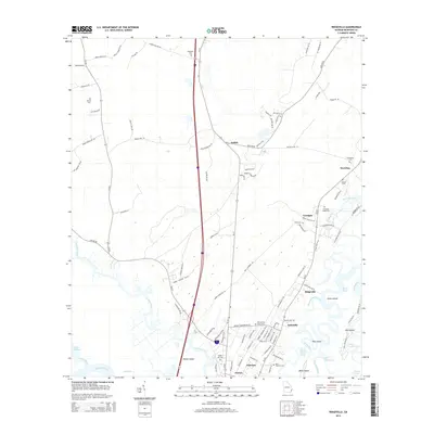
2014 Map of Ridgeville
USGS Topo · Published 2014About this map
Darien and the surrounding marshlands of McIntosh County are defined by a complex network of coastal waterways including the Altamaha River and Cathead Creek. This 2014 survey documents the historic settlement patterns of the Georgia coast, where clusters like Ardick, Ridgeville, and Meridian sit inland from the tidal islands. The landscape is notably dense with family and community burial grounds, such as Hutchinson Cem and Saint Andrews Cem, reflecting a deep genealogical footprint in the lowcountry.
Find a feature on this map
118 named features on this map. Tap any name to fly to it.
Don’t see what you’re looking for? This feature index may not catch every label — zoom into the map to look around manually.
Map Details
Editions of this 2014 Ridgeville Map
This is the sole edition of this map. No revisions or reprints were ever made.
Other maps of this area

1918 · Everett City
USGS Topo · 1:62,500

1920 · Sapelo River
USGS Topo · 1:62,500

1920 · Everett City
USGS Topo · 1:62,500

1921 · Darien
USGS Topo · 1:62,500

1943 · Ludowici
USGS Topo · 1:62,500

1943 · Sapelo River
USGS Topo · 1:62,500

1944 · Everett City
USGS Topo · 1:62,500

1945 · Sapelo River
USGS Topo · 1:62,500

1946 · Brunswick
USGS Topo · 1:250,000

1948 · Brunswick
USGS Topo · 1:250,000