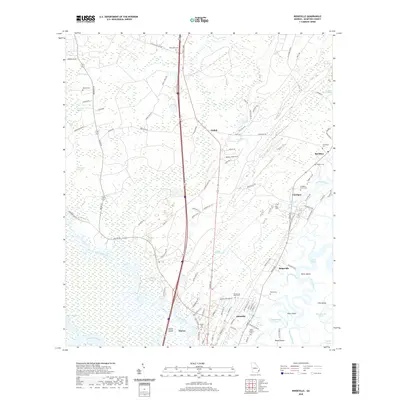
2020 Map of Ridgeville
USGS Topo · Published 2020About this map
The Altamaha River Delta defines the southern reaches of this Georgia coastal landscape, where the main channel meets complex waterways like Cathead Creek and Rifle Cut. This low-lying terrain is dominated by vast tidal environments including Buffalo Swamp and Chisholm Swamp, punctuated by higher ground that supports long-established settlements. The community of Darien sits at the river's edge, while smaller locales like Ashintilly, Ridgeville, and Meridian are clustered further north along the coastal corridor.
Find a feature on this map
103 named features on this map. Tap any name to fly to it.
Don’t see what you’re looking for? This feature index may not catch every label — zoom into the map to look around manually.
Map Details
Editions of this 2020 Ridgeville Map
This is the sole edition of this map. No revisions or reprints were ever made.
Other maps of this area

1918 · Everett City
USGS Topo · 1:62,500

1920 · Sapelo River
USGS Topo · 1:62,500

1920 · Everett City
USGS Topo · 1:62,500

1921 · Darien
USGS Topo · 1:62,500

1943 · Ludowici
USGS Topo · 1:62,500

1943 · Sapelo River
USGS Topo · 1:62,500

1944 · Everett City
USGS Topo · 1:62,500

1945 · Sapelo River
USGS Topo · 1:62,500

1946 · Brunswick
USGS Topo · 1:250,000

1948 · Brunswick
USGS Topo · 1:250,000