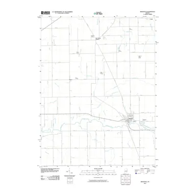
2010 Map of Ridgeville
USGS Topo · Published 2010About this map
The Mississinewa River winds across the southern half of this landscape, anchoring the settlement of Ridgeville. This section of Indiana is characterized by a dense network of agricultural drainages and small creeks, including Days Creek, Flesher Creek, and Bear Creek, which reveal the intensive water management of the region's farmland. Small, unincorporated communities such as New Mount Pleasant, Powers, and Collett serve as local hubs for the surrounding rural territory.
Find a feature on this map
42 named features on this map. Tap any name to fly to it.
Don’t see what you’re looking for? This feature index may not catch every label — zoom into the map to look around manually.
Map Details
Editions of this 2010 Ridgeville Map
This is the sole edition of this map. No revisions or reprints were ever made.
Other maps of this area

1915 · Fort Recovery
USGS Topo · 1:48,000

1916 · Winchester
USGS Topo · 1:48,000

1918 · Winchester
USGS Topo · 1:62,500

1918 · Fort Recovery
USGS Topo · 1:62,500

1943 · Winchester
USGS Topo · 1:62,500

1952 · Maxville
USGS Topo · 1:24,000

1952 · Farmland
USGS Topo · 1:24,000

1953 · Muncie
USGS Topo · 1:250,000

1956 · Muncie
USGS Topo · 1:250,000

1960 · Pennville
USGS Topo · 1:24,000