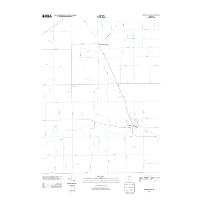
2013 Map of Ridgeville
USGS Topo · Published 2013About this map
Ridgeville sits as the primary hub in this eastern Indiana landscape, where the Mississinewa River cuts a winding path through a highly organized agricultural grid. This 2013 survey illustrates a region defined by its water management, evidenced by the extensive network of man-made waterways like Miller Ditch, De Armond Ditch, and Mendenhall Ditch that supplement natural streams such as Bear Cr and Brooks Cr.
Find a feature on this map
75 named features on this map. Tap any name to fly to it.
Don’t see what you’re looking for? This feature index may not catch every label — zoom into the map to look around manually.
Map Details
Editions of this 2013 Ridgeville Map
This is the sole edition of this map. No revisions or reprints were ever made.
Other maps of this area

1915 · Fort Recovery
USGS Topo · 1:48,000

1916 · Winchester
USGS Topo · 1:48,000

1918 · Winchester
USGS Topo · 1:62,500

1918 · Fort Recovery
USGS Topo · 1:62,500

1943 · Winchester
USGS Topo · 1:62,500

1952 · Maxville
USGS Topo · 1:24,000

1952 · Farmland
USGS Topo · 1:24,000

1953 · Muncie
USGS Topo · 1:250,000

1956 · Muncie
USGS Topo · 1:250,000

1960 · Pennville
USGS Topo · 1:24,000