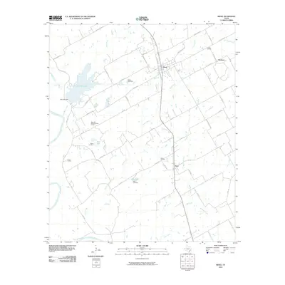
2010 Map of Riesel
USGS Topo · Published 2010About this map
Riesel and the surrounding agricultural lands of eastern McLennan County are defined by a complex network of water management features and small rural communities. The landscape is carved by the Brazos River along its western edge and numerous tributaries like Big Sandy Creek and Manos Creek. Significant water infrastructure includes Lake Creek Lake and several smaller impoundments such as Mann Lake and Able Lake, many of which are held by named structures like the Hesse Lake Dam. The settlement pattern follows a grid of local roads, including Possum Trot Rd and Rattlesnake Rd, connecting the town center of Riesel to outlying areas like Blackland and Perry. Genealogists and local historians can find several established burial grounds, including Friedens Cemetery, Sunset Cemetery, and Nazare Cemetery, which anchor these long-standing farming communities.
Find a feature on this map
60 named features on this map. Tap any name to fly to it.
Don’t see what you’re looking for? This feature index may not catch every label — zoom into the map to look around manually.
Map Details
Editions of this 2010 Riesel Map
This is the sole edition of this map. No revisions or reprints were ever made.
Other maps of this area

1892 · Temple
USGS Topo · 1:125,000

1892 · Waco
USGS Topo · 1:125,000

1920 · Waco
USGS Topo · 1:125,000

1920 · Mart
USGS Topo · 1:62,500

1931 · Elm Mott
USGS Topo · 1:62,500

1954 · Waco
USGS Topo · 1:250,000

1955 · Waco
USGS Topo · 1:250,000

1956 · Mart
USGS Topo · 1:24,000

1957 · Otto
USGS Topo · 1:24,000

1957 · McClanahan
USGS Topo · 1:24,000