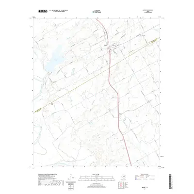
2019 Map of Riesel
USGS Topo · Published 2019About this map
Riesel and the community of Perry serve as the primary hubs in this Central Texas landscape near the border of McLennan and Falls counties. The topography is defined by the winding course of the Brazos River in the southwest and a series of smaller waterways like Manos Cr and Sandy Cr that feed into local basins. The presence of several distinct water bodies, including Lake Creek Lake, Able Lake, and Hesse Lake, suggests a region heavily managed for agricultural and local water needs.
Find a feature on this map
82 named features on this map. Tap any name to fly to it.
Don’t see what you’re looking for? This feature index may not catch every label — zoom into the map to look around manually.
Map Details
Editions of this 2019 Riesel Map
This is the sole edition of this map. No revisions or reprints were ever made.
Other maps of this area
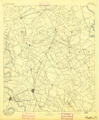
1892 · Temple
USGS Topo · 1:125,000
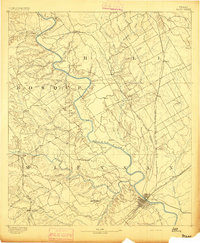
1892 · Waco
USGS Topo · 1:125,000
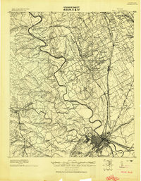
1920 · Waco
USGS Topo · 1:125,000
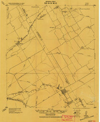
1920 · Mart
USGS Topo · 1:62,500
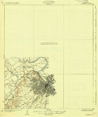
1931 · Elm Mott
USGS Topo · 1:62,500
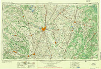
1954 · Waco
USGS Topo · 1:250,000
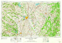
1955 · Waco
USGS Topo · 1:250,000
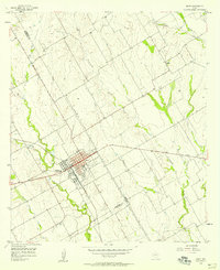
1956 · Mart
USGS Topo · 1:24,000
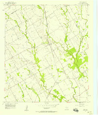
1957 · Otto
USGS Topo · 1:24,000
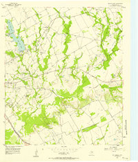
1957 · McClanahan
USGS Topo · 1:24,000