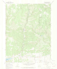
1966 Map of Rifle Falls
USGS Topo · Published 1969About this map
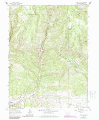
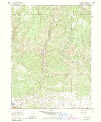
White River National Forest lands dominate this mid-century Colorado landscape, where water management and recreation infrastructure define the valley floor. East Rifle Creek serves as a central artery for development, supporting the Rifle Falls Fish Hatchery and nearby Rifle Falls Campground. The presence of a Landing Strip and a Community Building near Mountain Park suggests a specialized hub of activity within the forest boundaries during this era.
Find a feature on this map
33 named features on this map. Tap any name to fly to it.
Don’t see what you’re looking for? This feature index may not catch every label — zoom into the map to look around manually.
Map Details
Editions of this 1966 Rifle Falls Map
6 editions found
Other maps of this area

1906 · Grand Hogback
USGS Topo · 1:125,000

1910 · Grand Hogback
USGS Topo · 1:125,000

1952 · Horse Mountain
USGS Topo · 1:24,000

1952 · Rifle
USGS Topo · 1:24,000

1957 · Leadville
USGS Topo · 1:250,000

1959 · Leadville
USGS Topo · 1:250,000

1960 · Leadville
USGS Topo · 1:250,000

1962 · Leadville
USGS Topo · 1:250,000

1962 · New Castle
USGS Topo · 1:24,000
1962 · Silt
USGS Topo · 1:24,000