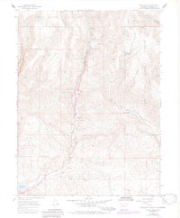
1966 Map of Rifle Falls
USGS Topo · Published 1984About this map
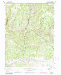
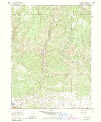
White River National Forest dominates this mid-1960s survey, revealing a landscape defined by deep gulches and water management. The terrain transitions from the high, flat expanse of Coulter Mesa in the west to a network of creeks and draws that feed into the East Fork Rifle Creek. Significant industrial and recreational infrastructure is evident at the Rifle Falls Fish Hatchery and nearby Rifle Falls, while the southern reaches show the development of the Rifle Gap State Recreation Area around the Rifle Gap Reservoir.
Find a feature on this map
38 named features on this map. Tap any name to fly to it.
Don’t see what you’re looking for? This feature index may not catch every label — zoom into the map to look around manually.
Map Details
Editions of this 1966 Rifle Falls Map
6 editions found
Other maps of this area

1906 · Grand Hogback
USGS Topo · 1:125,000

1910 · Grand Hogback
USGS Topo · 1:125,000

1952 · Horse Mountain
USGS Topo · 1:24,000

1952 · Rifle
USGS Topo · 1:24,000

1957 · Leadville
USGS Topo · 1:250,000

1959 · Leadville
USGS Topo · 1:250,000

1960 · Leadville
USGS Topo · 1:250,000

1962 · Leadville
USGS Topo · 1:250,000

1962 · New Castle
USGS Topo · 1:24,000
1962 · Silt
USGS Topo · 1:24,000