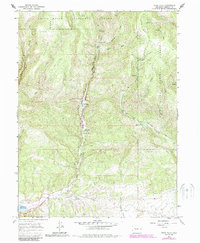
1966 Map of Rifle Falls
USGS Topo · Published 1988About this map
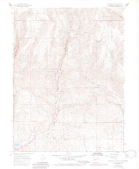
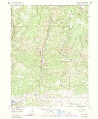
White River National Forest defines the canyon-carved landscape of this Garfield County survey, focusing on the essential water management and recreation systems along East Rifle Creek. The mid-1960s state of these resources is documented, from the high-elevation Coulter Mesa and the tiny settlement at Coulter down to the critical infrastructure of the Rifle Falls Fish Hatchery. Significant human activity is clustered along the valley floors, where the Rifle Falls State Recreation Area and Rifle Gap State Recreation Area provide public access to the Rifle Gap Reservoir. Industrial and social markers, such as a Gravel Pit, various Prospects, and a Community Building near Sawmill, reveal how local residents utilized the terrain's natural resources for both livelihood and community life.
Find a feature on this map
31 named features on this map. Tap any name to fly to it.
Don’t see what you’re looking for? This feature index may not catch every label — zoom into the map to look around manually.
Map Details
Editions of this 1966 Rifle Falls Map
6 editions found
Other maps of this area

1906 · Grand Hogback
USGS Topo · 1:125,000

1910 · Grand Hogback
USGS Topo · 1:125,000

1952 · Horse Mountain
USGS Topo · 1:24,000

1952 · Rifle
USGS Topo · 1:24,000

1957 · Leadville
USGS Topo · 1:250,000

1959 · Leadville
USGS Topo · 1:250,000

1960 · Leadville
USGS Topo · 1:250,000

1962 · Leadville
USGS Topo · 1:250,000

1962 · New Castle
USGS Topo · 1:24,000
1962 · Silt
USGS Topo · 1:24,000