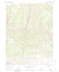
1966 Map of Rifle Falls
USGS Topo · Published 1984About this map
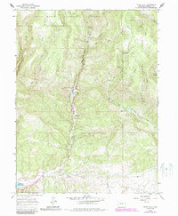
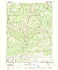
White River National Forest encompasses this Garfield County landscape, where the waters of East Rifle Creek flow south toward the Rifle Gap Reservoir. This mid-century survey shows a region deeply connected to land management and outdoor infrastructure, anchored by the Rifle Falls State Recreation Area and the Rifle Falls Fish Hatchery. The presence of a Community Building and various Mines and Prospects indicate small-scale industrial activity and civic gathering points amidst the high-altitude terrain. Land use patterns are further defined by water management features like the Grass Valley Canal and irrigation structures such as the West Elk Reservoir. Across Coulter Mesa and into the timbered draws of Sawmill Gulch and Huffman Gulch, the map details a network of canyons and plateaus that supported both recreation and ranching, evidenced by remote labels like Spring Cow Camp.
Find a feature on this map
30 named features on this map. Tap any name to fly to it.
Don’t see what you’re looking for? This feature index may not catch every label — zoom into the map to look around manually.
Map Details
Editions of this 1966 Rifle Falls Map
6 editions found
Other maps of this area

1906 · Grand Hogback
USGS Topo · 1:125,000

1910 · Grand Hogback
USGS Topo · 1:125,000

1952 · Horse Mountain
USGS Topo · 1:24,000

1952 · Rifle
USGS Topo · 1:24,000

1957 · Leadville
USGS Topo · 1:250,000

1959 · Leadville
USGS Topo · 1:250,000

1960 · Leadville
USGS Topo · 1:250,000

1962 · Leadville
USGS Topo · 1:250,000

1962 · New Castle
USGS Topo · 1:24,000
1962 · Silt
USGS Topo · 1:24,000